
Country India Telephone/STD code 03485 Area 92.69 km² Area code 03485 | Time zone IST (UTC+5:30) Elevation 26 m Population 284,072 (2011) ISO 3166 code ISO 3166-2:IN | |
 | ||
Postal Index Number 742224 (Nimtita)742202 (Dhuliyan) | ||
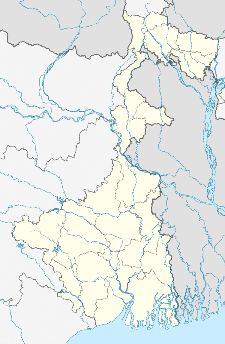
Samserganj is a community development block that forms an administrative division in Jangipur subdivision of Murshidabad district in the Indian state of West Bengal. Samserganj police station serves this block. Headquarters of this block is at Ratanpur. It is located 84 km from Baharampur, the district headquarters.
Contents
Location
Nimtita, a constituent panchayat of Samserganj block, is located at 24°39′02″N 87°58′12″E
Samserganj CD Block is bounded by Kaliachak III CD Block, across the Ganges in Malda district, in the north and east, Farakka CD Block in the west, Suti I and Suti II CD Blocks in the south.
Area
Samserganj CD Block has an area of 92.69 km2.
Physical features
The Bhagirathi divides the district into two parts namely Bagri on the east and Rahr on the west. The Padma separates the district from Malda district, and Chapai Nawabganj and Rajshahi districts of Bangladesh.
Gram panchayats
Gram panchayats in Samserganj block/ panchayat samiti are: Bhasaipaiker, Bogdadnagar, Chachanda, Dogachhinapara, Gazinagar Malancha, Kanchantala, Nimtita, Pratapganj and Tinpakuria.
Population
As per 2011 Census of India Samserganj CD Block had a total population of 284,072, of which 108,718 were rural and 175,354 were urban. There were 142,034 (50%) males and 142,038 (50%) females. Population below 6 years was 58,190. Scheduled Castes numbered 18,399 and Scheduled Tribes numbered 164.
Ratanpur, the block headquarters had a population of 1,482 in 2011.
As per 2001 census, Samserganj block has a total population of 211,561, out of which 106,427 were males and 105,134 were females. Samserganj block registered a population growth of 17.33 per cent during the 1991-2001 decade. Decadal growth for the district was 23.70 per cent.Decadal growth in West Bengal was 17.84 per cent.
Census towns and large villages
Census towns in Samserganj CD Block were (2011 figures in brackets): Anup Nagar (12,940), Jaffrabad (28,332), Kankuria (36,925), Uttar Mahammadpur (8,264), Chachanda (14,244), Dhusaripara (17,800), Serpur (8,900), Kohetpur (5,379), Bhasaipaikar (23,141), Jaykrishnapur (12,599) and Basudebpur (6,830).
Large villages in Samserganj CD Block were (2011 figures in brackets): Malancha (16,918), Antardwipa (10,605), Adwaita Nagar (6,176), Umarpur (5,785), Dogachhi (13,848), Laskarpur (6,756), Balbalpara (5,207), Chandni Daha (5,996), Hasimpur (6,539) and Durgapur (4,169).
Literacy
As per 2011 census the total number of lit erates in Samserganj CD Block was 124,196 (54.98% of the population below 6 years) out of which 68,042 (55%) were males and 56,154 (45%) were females.
As per 2011 census, literacy in Murshidabad district was 66.59.Literacy in West Bengal was 77.08% in 2011.Literacy in India in 2011 was 74.04%.
Language
Bengali is the local language in these areas.
Transport
NH 34 passes through Samserganj block. There is also road connectivity to Pakur which is a district town in Jharkhand.
The nearest railway station is Dhulian Ganga (DGLE) on the Barharwa-Azimganj-Katwa Loop Line.
Healthcare
Samserganj block is one of the areas where ground water is affected by arsenic contamination. There is a block hospital and few gramin hospitals. There is also a Central Govt. hospital (50 beded) which is located in Tarapur. It is basically for the poor Beedi workers of nearby areas.