
Country India District Murshidabad Vehicle registration WB Local time Monday 3:25 PM | Time zone IST (UTC+5:30) Lok Sabha constituency Maldaha Dakshin Population 6,192 (2001) | |
 | ||
Weather 36°C, Wind N at 10 km/h, 33% Humidity | ||
Uttar Mahammadpur is a census town in Samserganj CD Block in Jangipur subdivision of Murshidabad district in the Indian state of West Bengal.
Contents
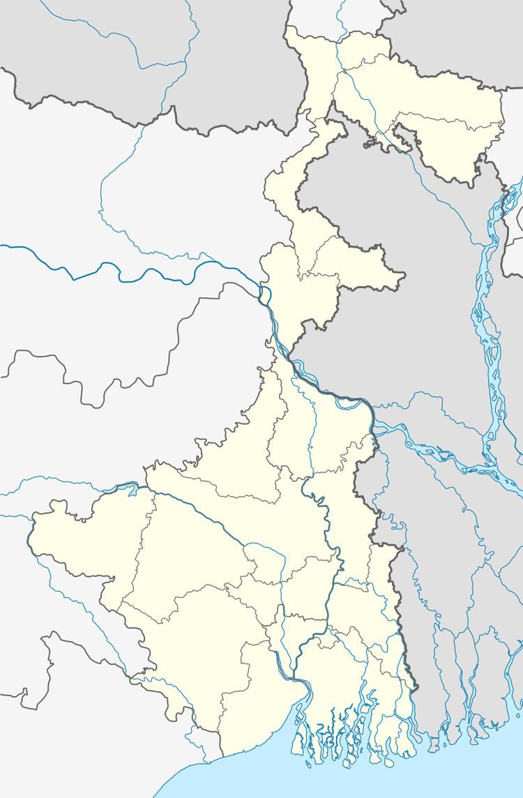
Map of Uttar Mohammadpur, West Bengal
Geography
Uttar Mahammadpur is located at 24.65°N 87.99°E / 24.65; 87.99.
Demographics
As of 2001 India census, Uttar Mahammadpur had a population of 6192. Males constitute 51% of the population and females 49%. Uttar Mahammadpur has an average literacy rate of 33%, lower than the national average of 59.5%: male literacy is 42%, and female literacy is 24%. In Uttar Mahammadpur, 24% of the population is under 6 years of age.
References
Uttar Mahammadpur Wikipedia(Text) CC BY-SA