
Country India Telephone/STD code 03485 Area 94.86 km² Area code 03485 | Time zone IST (UTC+5:30) Elevation 26 m Population 278,922 (2011) ISO 3166 code ISO 3166-2:IN | |
 | ||
PIN 742161 (Panchthupi)742201 (Aurangabad) | ||
Langgam ngimpi ii mirna suti ii panca krida budaya sanggar oemah bejo live sawangan
Suti II is a community development block that forms an administrative division in Jangipur subdivision of Murshidabad district in the Indian state of West Bengal. Suti police station serves this block. Headquarters of this block is at Dafahat. It is located 76 km from Baharampur, the district headquarters.
Contents
- Langgam ngimpi ii mirna suti ii panca krida budaya sanggar oemah bejo live sawangan
- Location
- Area
- Physical features
- Gram panchayats
- Population
- Census towns and large villages
- Literacy
- Language
- Transport
- Healthcare
- References
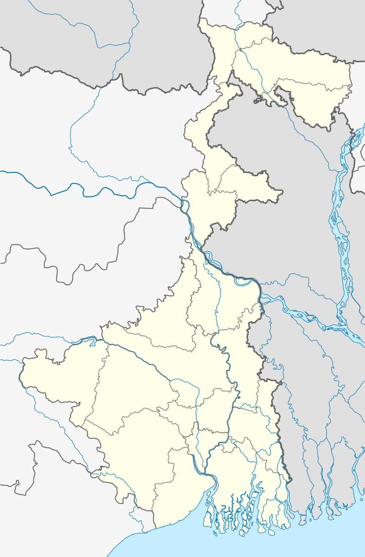
Location
Aurangabad, a census town in Suti II block, is located at 24°35′53″N 88°02′02″E
Suti II CD Block is bounded by Samserganj CD Block in the north, Chapai Nawabganj District of Bangladesh, across the Ganges, in the east, Pakur CD Block of Jharkhand in the west, Suti I and Raghunathganj II CD Blocks in the south.
Area
Suti II CD Block has an area of 94.86 km2.
Physical features
The Bhagirathi divides the district into two parts namely Bagri on the east and Rahr on the west. The Padma separates the district from Malda district, and Chapai Nawabganj and Rajshahi districts of Bangladesh.
Gram panchayats
Gram panchayats in Suti II block/ panchayat samiti are: Aurangabad I, Aurangabad II, Bajitpur, Jagtai I, Jagtai II, Kashimnagar, Laxmipur, Mahesail I, Mahesail II and Umrapur.
Population
As per 2011 Census of India Suti II CD Block had a total population of 278,922, of which 110,767 were rural and 168,155 were urban. There were 139,995 (50%) males and 138,927 (50%) females. Population below 6 years was 52,382. Scheduled Castes numbered 20,461 and Scheduled Tribes numbered 493.
As per 2001 census, Suti II block has a total population of 213,069, out of which 107,506 were males and 105,563 were females. Suti II block registered a population growth of 35.05 per cent during the 1991-2001 decade. Decadal growth for the district was 23.70 per cent.Decadal growth in West Bengal was 17.84 per cent.
Census towns and large villages
Census towns in Suti II CD Block were (2011 population figures in brackets): Jagtaj (11,261), Debipur (6,506), Aurangabad (39,261), Mahendrapur (6,979), Hafania (8,171), Dafahat (15,688), Paschim Punropara (40,683), Ichhlampur (6,015), Chakmeghoan (5,360), Kakramari (9,423), Khanpur (5,510), Khidirpur (5,526) and Bhabki (7,772).
Large villages in Suti II CD Block were (2011 population figures in brackets): Bauripuni (5,036), Umrapur (19,855), Bhagalpur (11,528), Baliaghati (5,610), Sankarpur (4,530), Bazegazipur (6,502), Gazipur (4.600), Mahesail (16,178) and Amuha (4,331).
Literacy
As per 2011 census the total number of literates in Suti II CD Block was 125,111 (55.23% of the population above 6 years) out of which 68,664 (55%) were males and 56,447 (45%) were females.
As per 2011 census, literacy in Murshidabad district was 66.59.Literacy in West Bengal was 77.08% in 2011.Literacy in India in 2011 was 74.04%.
Language
Bengali is the local language in these areas.
Transport
NH 34 passes through Suti II block.
Healthcare
Suti II block is one of the areas where ground water is affected by arsenic contamination.