
PIN 742224 Local time Wednesday 9:09 PM | Time zone IST (UTC+5:30) Vehicle registration WB Population 10,300 (2001) | |
 | ||
Weather 24°C, Wind S at 8 km/h, 70% Humidity | ||
Chachanda is a census town in Samserganj CD Block in Jangipur subdivision of Murshidabad district in the state of West Bengal, India.
Contents
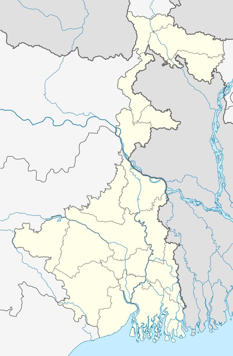
Map of Chachanda, West Bengal
Geography
Chachanda is located at 24.64°N 88.00°E / 24.64; 88.00.
Demographics
As of 2001 India census, Chachanda had a population of 10,300. Males constitute 51% of the population and females 49%. Chachanda has an average literacy rate of 35%, lower than the national average of 59.5%; with male literacy of 44% and female literacy of 26%. 23% of the population is under 6 years of age.
Education
There are three educational institutions in Chachanda,one High School (C.B.J.High School), one Primary School and one Primary Madrasa.The high school was initially for classes V to X, but now it's been upgraded to class XII (Arts). It not only serves the educational need of Chachanda but many other adjoining areas also.
Transportation
Chachanda is well connected by road and rail. NH 34 and Azimganj-Barharwa railway line pass by Chachanda. It is 67 km away from district town Berhampore and 233 km from Kolkata.