
Country United States GNIS feature ID 453263 Area 76.97 km² Population 885 (2010) | FIPS code 18-17686 Elevation 226 m Local time Monday 2:50 AM | |
 | ||
Weather 11°C, Wind S at 21 km/h, 71% Humidity | ||
Democrat Township is one of fourteen townships in Carroll County, Indiana. As of the 2010 census, its population was 885 and it contained 354 housing units.
Contents
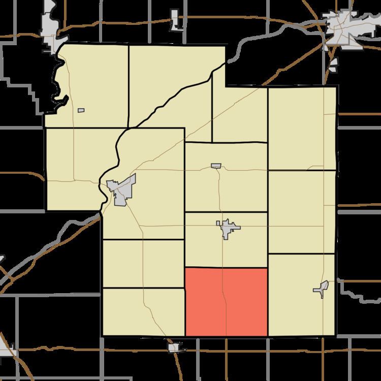
- Map of Democrat Township IN USA
- History
- Geography
- Unincorporated towns
- Adjacent townships
- Major highways
- References
Map of Democrat Township, IN, USA
History
Democrat Township was organized in 1835.
Adams Mill and Adams Mill Covered Bridge are listed on the National Register of Historic Places.
Geography
According to the 2010 census, the township has a total area of 29.72 square miles (77.0 km2), all land.
Unincorporated towns
Adjacent townships
Major highways
References
Democrat Township, Carroll County, Indiana Wikipedia(Text) CC BY-SA