
Country United States GNIS feature ID 453205 Local time Monday 4:50 PM | State Indiana FIPS code 18-12988 Elevation 211 m Population 1,255 (2010) | |
 | ||
Weather 13°C, Wind S at 27 km/h, 90% Humidity Area 53.79 km² (53.77 km² Land / 3 ha Water) | ||
Clay Township is one of fourteen townships in Carroll County, Indiana. As of the 2010 census, its population was 1,255 and it contained 463 housing units. Clay Township is part of the Rossville, Indiana school district.
Contents
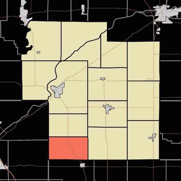
- Map of Clay Township IN USA
- History
- Geography
- Unincorporated towns
- Adjacent townships
- Major highways
- Cemeteries
- References
Map of Clay Township, IN, USA
History
Clay Township was organized in 1831.
Geography
According to the 2010 census, the township has a total area of 20.77 square miles (53.8 km2), of which 20.76 square miles (53.8 km2) (or 99.95%) is land and 0.01 square miles (0.026 km2) (or 0.05%) is water. The North Fork and Middle Fork of the Wildcat Creek both pass through Clay Township. The Lancaster Bridge, an historic covered bridge erected in 1872, spans the North Fork of the Wildcat Creek east of Owasco. The North Fork is an official Indiana State Scenic River.
Unincorporated towns
Adjacent townships
Major highways
Cemeteries
The township contains four cemeteries: Beard, Hufford, Hufford and Hughes.