
Country United States GNIS feature ID 453725 Area 93.86 km² Local time Monday 9:18 AM | ZIP codes 47905 Elevation 202 m Zip code 47905 Population 7,161 (2010) | |
 | ||
Weather 11°C, Wind E at 2 km/h, 95% Humidity | ||
Perry Township is one of thirteen townships in Tippecanoe County, Indiana, United States. As of the 2010 census, its population was 7,161 and it contained 2,782 housing units.
Contents
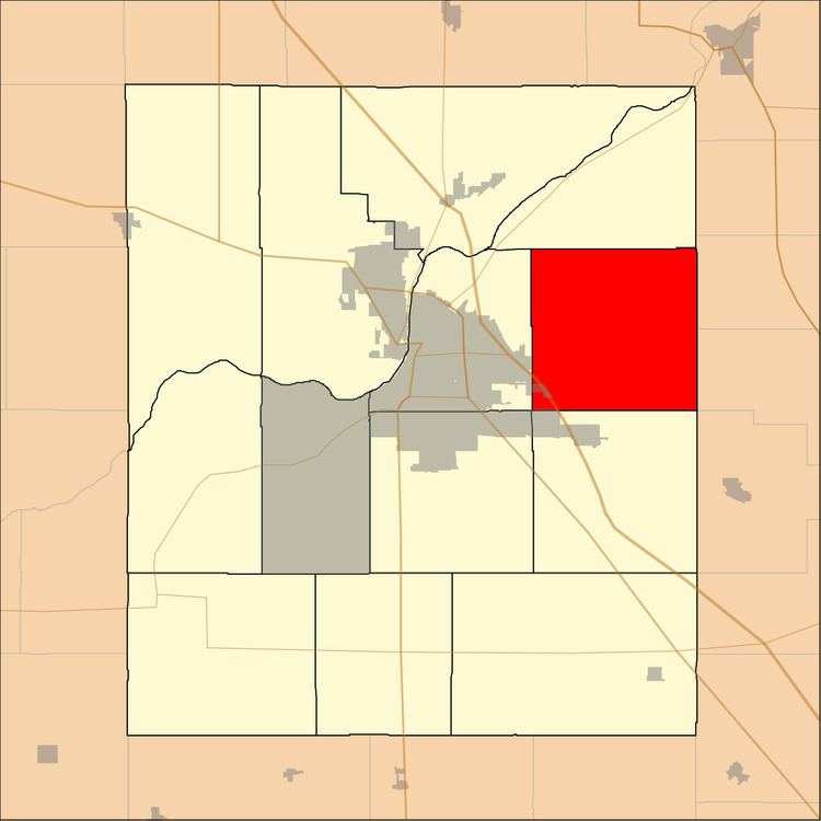
- Map of Perry Township IN 47905 USA
- History
- Geography
- Cities towns villages
- Unincorporated towns
- Adjacent townships
- Cemeteries
- Major highways
- Airports and landing strips
- School districts
- Political districts
- References
Map of Perry Township, IN 47905, USA
History
Hershey House was listed on the National Register of Historic Places in 1978.
Geography
According to the 2010 census, the township has a total area of 36.24 square miles (93.9 km2), of which 36.08 square miles (93.4 km2) (or 99.56%) is land and 0.15 square miles (0.39 km2) (or 0.41%) is water.
Cities, towns, villages
Unincorporated towns
(This list is based on USGS (United States Geological Survey) data and may include former settlements.)
Adjacent townships
Cemeteries
The township contains these three cemeteries: Swank, Union and Zion.
Major highways
Airports and landing strips
School districts
Political districts
References
Perry Township, Tippecanoe County, Indiana Wikipedia(Text) CC BY-SA