
Counties: Vaudreuil-Soulanges Province Québec | Length 40.9 km | |
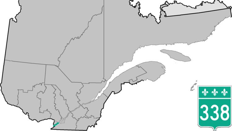 | ||
County Vaudreuil-Soulanges Regional County Municipality Major cities Coteau-du-Lac, Vaudreuil-Dorion | ||
Route 338 is a provincial highway located in the Montérégie region of Quebec west of Montreal. The highway runs from the Ontario Border near Rivière-Beaudette as a continuation of Stormont, Dundas and Glengarry County Road 2 and ends at Vaudreuil-Dorion at the junction of Autoroute 20 which the 338 acts as an alternate and service route parallel to A-20 although through several villages along the Saint Lawrence River. Before the 1970s, this road was named "Route 2", as part of an interprovincial Route 2 that stretched from Windsor, Ontario to Halifax, Nova Scotia.
Contents
Map of QC-338, Qu%C3%A9bec, Canada
Municipalities along Route 338
References
Quebec Route 338 Wikipedia(Text) CC BY-SA