
Country Canada Established 1850 Time zone EST (UTC-5) | Local time Friday 5:53 PM | |
 | ||
Municipalities ListCornwallNorth DundasNorth GlengarryNorth StormontSouth DundasSouth GlengarrySouth StormontAkwesasne Weather 1°C, Wind NE at 24 km/h, 94% Humidity Colleges and Universities St. Lawrence College, Cornwall, Academy of Learning College Points of interest Upper Canada Village, Ault Park, Akwesasne Mohawk Casino, Long Sault Provincial Park, Glengarry Highland Games Clubs and Teams Cornwall Nationals, Cornwall Colts, Winchester Hawks, Cornwall Royals, Cornwall River Kings | ||
The United Counties of Stormont, Dundas and Glengarry is an upper-tier municipality in the Canadian province of Ontario that comprises three historical counties and excludes the City of Cornwall and the Mohawk Nation of Akwesasne. However, both Cornwall and Akwesasne form part of a larger census division named for the United Counties of Stormont, Dundas and Glengarry. The municipality's administrative office is located within Cornwall.
Contents
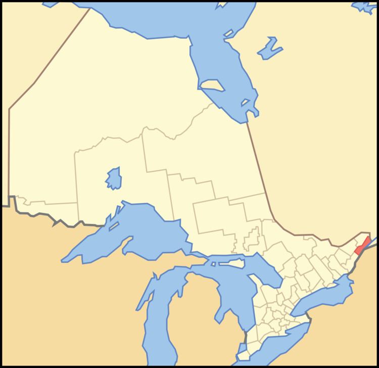
- Map of Stormont Dundas and Glengarry United Counties ON Canada
- History
- City
- Townships
- Historical counties
- Demographics
- Politics
- References
Map of Stormont, Dundas and Glengarry United Counties, ON, Canada
The united counties border Quebec to the east and New York in the United States to the south. The sovereign Mohawk Nation of Akwesasne straddles both borders, thus including territory partly within the united counties, Quebec and New York.
History
The area along the Saint Lawrence River had been settled by indigenous peoples for thousands of years. About 2,000 years ago, the Point Peninsula Complex people built earthen mounds, such as those at Serpent Mounds Park and Cameron's Point. They were gradually replaced about 1000–1300 CE by the Owasco people, who had migrated northward. They practiced a more settled form of agriculture.
These people are believed to have developed into the Iroquoian-speaking people, of which the St. Lawrence Iroquoians are identified as having settled along the river valley of the same name. They spoke Laurentian, practiced agriculture, and built fortified villages, such as those visited and described by explorer Jacques Cartier. They were a group distinct from the Iroquois Five Nations based in present-day New York. Historians believe the Mohawk Iroquois pushed out or destroyed the St. Lawrence Iroquoians by 1600 and used the uninhabited territory as a hunting and trapping ground. In the 17th and early 18th century, some settled at Kahnawake, south of Montreal.
Some 30 families of converted Mohawk who had lived at Kahnawake founded Akwesasne upriver in the late 1750s. It is now the largest Mohawk territory in Canada, with a population of about 12,000 people.
The united counties comprises six of the original eight Royal Townships of Upper Canada: Lancaster, Charlottenburgh, Cornwall, Osnabruck, Williamsburgh and Matilda. These six townships were divided into 12 a few years after their creation. Each set of four townships became one of three separate counties: Lancaster, Charlottenburgh, Kenyon and Lochiel became Glengarry County, Cornwall, Osnabruck, Finch and Roxborough became Stormont County, and Williamsburgh, Matilda, Winchester and Mountain became Dundas County. The three counties were later amalgamated to form the United Counties of Stormont, Dundas and Glengarry.
The townships of Cornwall, Osnabruck, Williamsburgh and Matilda were impacted by the creation of the Saint Lawrence Seaway in 1958, when construction plans required the flooding of a number of communities along the shore of the St. Lawrence River. Ten communities in Cornwall and Osnabruck, known collectively as The Lost Villages, were abandoned and completely flooded. One community each in Williamsburgh and Matilda were relocated to higher ground.
The 12 townships were amalgamated back into six, although along different boundaries from the original Royal Townships, in 1998.
City
Townships
The Akwesasne First Nations reserve is within the Stormont, Dundas, Glengarry census division but is independent of the county.
Historical counties
Demographics
As an upper-tier municipality that excludes the City of Cornwall, the united counties had a population of 64,824 living in 25,580 of its 27,018 total dwellings in the 2011 Census, a 0.7% change from its 2006 population of 64,374. With a land area of 3,247.32 km2 (1,253.80 sq mi), it had a population density of 20.0/km2 (51.7/sq mi) in 2011.
As a census division, the united counties had a population of 111,164 living in 46,015 of its 48,290 total dwellings in 2011, a 0.7% change from its 2006 population of 110,399. With a land area of 3,308.84 km2 (1,277.55 sq mi), it had a population density of 33.6/km2 (87.0/sq mi) in 2011. These population and dwelling figures exclude those from the portion of the Mohawk Nation of Akwesasne within the united counties as permission was not given to enumerate the Indian reserve in 2011.
Politics
The head of Council (called Warden) is elected annually by internal election from Council's members. Eric Duncan, the Mayor of North Dundas, is the United Counties of Stormont, Dundas and Glengarry's 2014 Warden.
Most of the united counties, with the exception of North Glengarry, constitutes the federal and provincial electoral district of Stormont—Dundas—South Glengarry. North Glengarry is part of the electoral district of Glengarry—Prescott—Russell. Both districts are currently represented federally by Conservative MP Guy Lauzon and Liberal MP Francis Drouin, and provincially by Conservative MPP Jim McDonell and Liberal MPP Grant Crack in Glengarry—Prescott—Russell.