
Country Canada Time zone EST (UTC−5) Area code(s) 450 and 579 Area 88.5 km² Local time Wednesday 6:26 PM Number of airports 1 | Constituted March 9, 1985 Postal code(s) J7T 1A1 Highways A-20 A-30 Route 338 Route 340 Population 6,079 (2011) Province Québec | |
 | ||
Weather -6°C, Wind W at 23 km/h, 83% Humidity RCMs Montérégie, Vaudreuil-Soulanges Regional County Municipality | ||
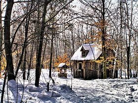
Les Cèdres is a municipality located north of the Saint Lawrence River in the Montérégie of Quebec, Canada, near Vaudreuil-Dorion. The population as of the Canada 2011 Census was 6,079. The name means "The Cedars" in French.
Contents
Map of Les C%C3%A8dres, QC, Canada
In 1959-1960 Swedish writer, Stig Claesson, lived in the village at a place called Point Charlie and later wrote a book about it called My friend Charlie.
Transportation
The west end of Quebec Autoroute 30, a Montreal Island bypass route, runs through this area to link up with Autoroute 20. Montréal/Les Cèdres Airport, a single-runway general aviation airport, is located north of Quebec Autoroute 20 in the Les Cèdres area.
References
Les Cèdres, Quebec Wikipedia(Text) CC BY-SA