
Demonym(s) Montérégien(ne) Postal code J | Time zone EST (UTC-5) | |
 | ||
Regional CountyMunicipalities (RCM) and EquivalentTerritories (ET) 14 RCM, 1 ETActonBeauharnois-SalaberryBrome-MissisquoiLa Haute-YamaskaLa Vallée-du-RichelieuLe Haut-RichelieuLe Haut-Saint-LaurentLes Jardins-de-NapiervilleLes MaskoutainsMarguerite-D'YouvillePierre-De SaurelRoussillonRouvilleVaudreuil-SoulangesAgglomeration of Longueuil (ET) | ||
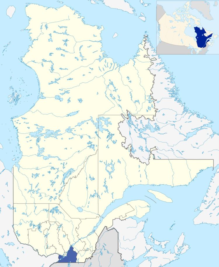
Montérégie ([mɔ̃teʁeʒi]) is an administrative region in the southwest part of the Canadian province of Québec. It includes the cities of Boucherville, Brossard, Granby, Longueuil, Salaberry-de-Valleyfield, Saint-Jean-sur-Richelieu, Saint-Hyacinthe, Sorel-Tracy, and Vaudreuil-Dorion.
Contents
- Subregions
- Regional County Municipalities
- Montrgie Est
- Valle du Haut Saint Laurent
- Native Reserves not part of a Regional County Municipality
- References
The region has a population of 1,442,433 (2011) and a land area of 11,131.32 square kilometres (4,297.83 sq mi), giving it a population density of 129.6 hab/km² (336/sq mi). It is the second most populous region of Quebec after Montréal. The majority of the population lives near the Saint Lawrence River, on the south shore of Montreal.
Montérégie is named for the Monteregian Hills, which are in turn named for Mount Royal. Montérégie was populated by the Iroquois when the Europeans first came here in the beginning of the 17th century. Samuel de Champlain built several forts to protect the colonists against the Iroquois and against the British. N.B.: In fact, Jacques Cartier "discovered" Mount Royal for the Europeans October 1535. Some of the battles which decided the destiny of Canada took place in Montérégie. Originally, the administrative territory of the Montérégie parishes were taken from the territory of the canonical Diocese of Saint-Jean-Longueuil.
Montérégie is known for its vineyards, orchards, spectacular panoramas, delicious products, as well as for the Monteregian mountains, from which it draws its name. The region is both urban (second in terms of population) and rural. The Montérégie's economy is based on agriculture and the production of goods and services. Tourism also makes up a significant portion of the economy.
Subregions
The Montérégie comprises three administrative subregions, each consisting of its own Regional County Municipalities (RCM) or Equivalent Territories. The territorial administration of the region is ensured by three Regional Conferences of Elected Officers (French: Conférences régionales des élus) (CRE) separate and independent in their territory: Longueuil, Montérégie-Est (eastern RCMs) and Vallée-du-Haut-Saint-Laurent (western RCMs). Each sub-region is organized in the same way as other administrative regions of Quebec.
Regional County Municipalities
There are 14 Regional County Municipalities in Montérégie.
Montérégie Est
There are nine RCMs in Montérégie Est. Its seat is McMasterville, and the president is Arthur Fauteux. Its territory occupies 7,125 square kilometres (2,751 sq mi) and there are 606,444 inhabitants (85.1/km2).
Vallée-du-Haut-Saint-Laurent
There are five RCMs in Vallée-du-Haut-Saint-Laurent. Its seat is Salaberry-de-Valleyfield, and its president is Yves Daoust. Its territory occupies 3,714 square kilometres (1,434 sq mi) and there are 401,133 inhabitants (108/km2).