Supriya Ghosh (Editor)

Quebec Route 216

Updated on
Edit
Like
Comment
Share on FacebookTweet on TwitterShare on LinkedInShare on Reddit
Length
  
315.5 km

Major cities
  
Sherbrooke

Province
  
Québec

Quebec Route 216

West end:
  
Route 108 in Sainte-Catherine-de-Hatley

East end:
  
Route 204 in Sainte-Perpétue

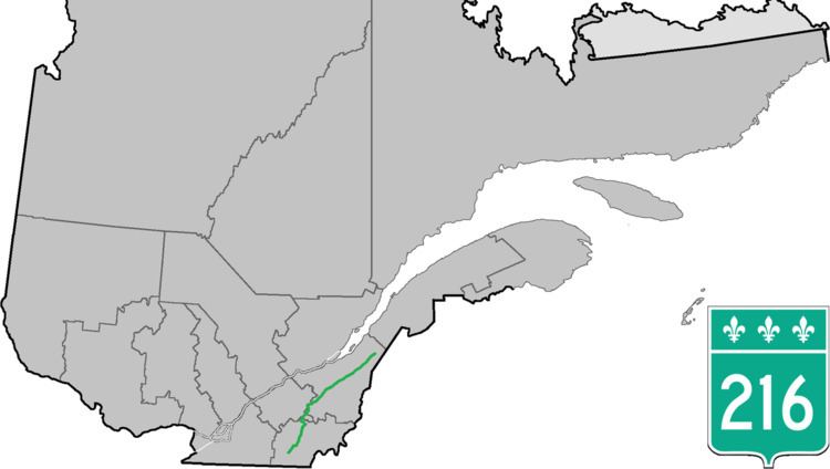
Route 216 is a two-lane east/west highway in Quebec, Canada, which starts in Sainte-Catherine-de-Hatley in the Estrie region at the junction of Route 108 and ends in Sainte-Perpétue in Chaudière-Appalaches at the junction of Route 204.

Contents

Map of Rte 216, Saint-Joseph-de-Coleraine, QC G0N 1B0, Canada

Route 216 follows mostly a northeast/southwest course, and it is not a busy highway as it mostly links small villages between themselves in the backroads of the Appalachians. The only two major towns along the way are Sherbrooke and Sainte-Marie. Between Ham-Nord and Kinnear's Mills, very long stretches of the road are gravel.

Municipalities along Route 216

  • Sainte-Catherine-de-Hatley
  • Sherbrooke
  • Stoke
  • Saint-Camille
  • Wotton
  • Saint-Adrien
  • Ham-Nord
  • Saint-Jacques-le-Majeur-de-Wolfestown
  • Saint-Julien
  • Irlande
  • Saint-Adrien-d'Irlande
  • Saint-Jean-de-Brébeuf
  • Kinnear's Mills
  • Saint-Jacques-de-Leeds
  • Saint-Sylvestre
  • Saint-Elzéar
  • Sainte-Marie
  • Sainte-Marguerite
  • Saint-Malachie
  • Saint-Nazaire-de-Dorchester
  • Notre-Dame-Auxiliatrice-du-Buckland
  • Saint-Philémon
  • Saint-Paul-de-Montminy
  • Sainte-Apolline-de-Patton
  • Saint-Marcel
  • Sainte-Félicité
  • Sainte-Perpétue
  • References

    Quebec Route 216 Wikipedia