
Length 263.9 km | Province Québec | |
 | ||
Major cities | ||
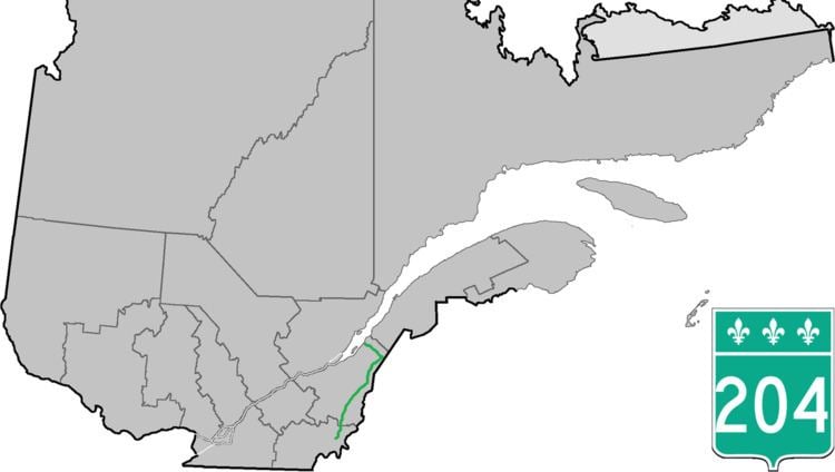
Route 204 is a finite two-lane east/west highway on the south shore of the Saint Lawrence River in Quebec. It is one of the longest secondary highways in the province. Its eastern terminus is in Saint-Jean-Port-Joli at the junction of Route 132 and the western terminus is in Lac-Mégantic at the junction of Route 161. Although it is numbered as an east/west highway, the road follows a north/south course from Saint-Jean-Port-Joli to Saint-Pamphile, where it then follows a mostly southwest/northeast course until Saint-Georges, where after crossing the Chaudière River, follows it in a north/south course until the source of the Chaudiere in Megantic Lake, in Lac-Mégantic.
Contents
Map of QC-204, Qu%C3%A9bec, Canada
Municipalities along Route 204
References
Quebec Route 204 Wikipedia(Text) CC BY-SA