
Demonym(s) Estrien(ne) Postal code J | Time zone EST (UTC-5) | |
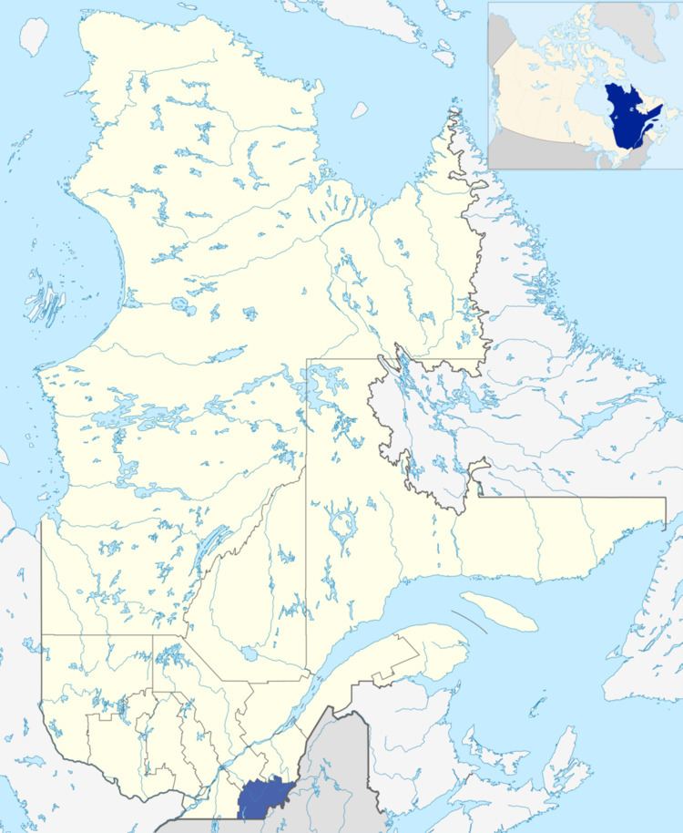 | ||
Regional CountyMunicipalities (RCM) and EquivalentTerritories (ET) 6 RCM, 1 ETCoaticookLe GranitLe Haut-Saint-FrançoisLe Val-Saint-FrançoisLes SourcesMemphrémagogSherbrooke (ET) | ||
The Estrie ([ɛstʁi]) is an administrative region of Quebec that mostly overlaps the Eastern Townships (though not entirely). Estrie, a French neologism, was coined as a derivative of est, "east".
Contents
The region has a land area of 10,214.34 km² (3 943.78 sq mi) and a 2011 census population of 310,733 inhabitants. Its largest population centre is the city of Sherbrooke. Estrie also has numerous natural parks.
Demographics
School Boards
Francophone:
Anglophone:
References
Estrie Wikipedia(Text) CC BY-SA