
Province Québec | Length 177.9 km | |
 | ||
East end: Route 173 in Beauceville Counties: Memphrémagog / Coaticook / Sherbrooke / Le Haut-Saint-François / Le Granit / Beauce-Sartigan | ||
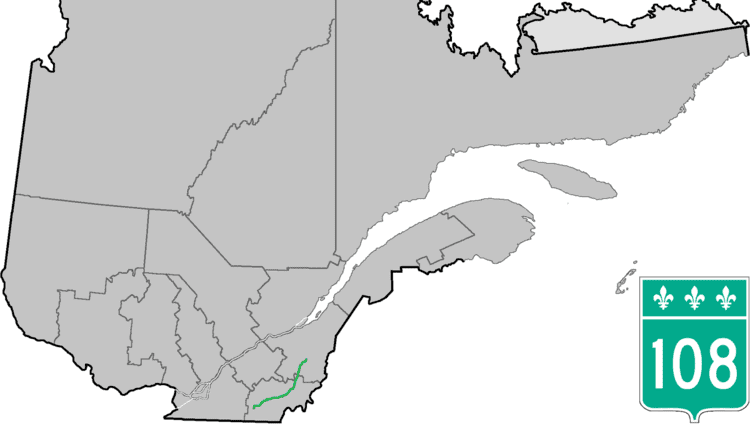
Route 108 is a two-lane east/west highway on the south shore of the Saint Lawrence River in the Eastern Townships and Chaudière-Appalaches regions of Quebec, Canada. Its eastern terminus is in Beauceville at the junction of Route 173, and the western terminus is at the junction of Route 112 in Magog.
Contents
Map of QC-108, Qu%C3%A9bec, Canada
Municipalities along Route 108
References
Quebec Route 108 Wikipedia(Text) CC BY-SA