
Website Official website Administrative division Burdwan division | Major highways NH 6, NH 41 Area 4,736 km² Local time Thursday 3:11 PM | |
 | ||
Weather 36°C, Wind S at 23 km/h, 48% Humidity Points of interest Amarabati Park, Digha Science Centre, Marine Aquarium and Regi, Pine forest, Bargabhima temple Colleges and Universities Panskura Banamali College, Prabhat Kumar College, College of Engineering and Man, Mahishadal Raj College, Moyna College | ||
Purba Medinipur district (pron: purbɔ med̪iːniːpur) (Bengali: পূর্ব মেদিনীপুর জেলা) or East Midnapore district (pron: ˌmɪd̪naˈpur) is an administrative unit in the Indian state of West Bengal. It is the southernmost district of Burdwan division – one of the three administrative divisions of West Bengal. The headquarters in Tamluk. It was formed on 1 January 2002 after the Partition of Midnapore into Purba Medinipur and Paschim Medinipur which lies at the northern and western border of it. The state of Odisha is at the southwest border; the Bay of Bengal lies in the south; the Hooghly river and South 24 Parganas district to the east; and Howrah district to the north-east.
Contents
- Map of Purba Medinipur West Bengal
- Tamralipta
- Overview
- Major cities and towns
- Administrative subdivisions
- Tamluk subdivision
- Haldia subdivision
- Egra subdivision
- Contai subdivision
- Demographics
- Economy
- Literacy and education
- Healthcare
- Tourism
- Tamluk Tamralipta
- Panskura
- Mahishadal
- Digha
- Mandarmani
- Haldia
- References
Map of Purba Medinipur, West Bengal
Purba Medinipur is formed of the sub-divisions of Tamluk, Contai and Haldia of erstwhile Midnapore district. Another sub-division, Egra has been created out of the erstwhile Contai sub-division during the partition of Midnapore. In 2011, the state government has proposed to rename the district as Tamralipta district after the ancient port city of Tamralipta which used to lie near the modern district headquarters.
Purba Medinipur saw many political movements during the British Raj. A parallel government named the Tamralipta Jatiya Sarkar was formed during the Quit India Movement in Tamluk. In 2007, Purba Medinipur witnessed the Nandigram violence, an incident of police firing that killed 14 farmers.
Tamralipta
Tamralipta, the port in ancient India, is believed by scholars to have been around modern-day Tamluk. It is mentioned in the writings of Ptolemy (150 AD), the Greco-Egyptian writer, Faxian (earlier referred to as Fa Hien) (405-11 AD), the Chinese Buddhist monk, who travelled to India on foot, and Xuanzang (earlier referred to as Hiuen Tsiang) (seventh century AD), the Chinese Buddhist monk, scholar, traveller and translator. It was the main port used by Ashoka, the Mauryan emperor. With too much siltation the port lost its importance around 8th century A.D.
Overview
Purba Medinipur district is part of the lower Indo-Gangetic Plain and Eastern coastal plains. Topographically, the district can be divided into two parts – (a) almost entirely flat plains on the west, east and north, (b) the coastal plains on the south. The vast expanse of land is formed of alluvium and is composed of younger and coastal alluvial. The elevation of the district is within 10 metres above mean sea level. The district has a long coastline of 65.5 km along its southern and south eastern boundary. Five coastal CD Blocks, namely, Khejuri II, Contai II (Deshapran), Contai I, Ramnagar I and II, are occasionally affected by cyclones and tornadoes. Tidal floods are quite regular in these five CD Blocks. Normally floods occur in 21 of the 25 CD Blocks in the district. The major rivers are Haldi, Rupnarayan, Rasulpur, Bagui and Keleghai, flowing in north to south or south-east direction. River water is an important source of irrigation. The district has a low 899 hectare forest cover, which is 0.02% of its geographical area.
Major cities and towns
Major cities and towns include Panskura, Tamluk, Nandakumar, Contai, Egra, Haldia, Mecheda, Mahisadal, Kajlagarh, Digha, Mandarmani, Khejuri, Ramnagar, Depal, Patashpur, Bhagabanpur, Manglamarro, Chandipur, Kolaghat, Deshopran, Paniparul, Deulihat, Heria, Nandigram.Mugberia,Balighai
Administrative subdivisions
Purba Medinipur district is divided into the following administrative subdivisions:
Tamluk subdivision consists of Tamluk municipality, Panskura municipality and seven community development blocks: Nandakumar, Mayna, Tamluk, Shahid Matangini, Panskura–I, Panskura–II and Chandipur (Nadigram–III). Haldia subdivision consists of Haldia municipality and five community development blocks: Mahisadal, Nandigram–I, Nandigram–II, Sutahata and Haldia. Egra subdivision consists of Egra municipality and six community development blocks: Bhagawanpur–I, Bhagawanpur–II, Egra–I, Egra–II, Pataspur–I and Pataspur–II. Contai subdivision consists of Contai municipality and seven community development blocks: Kanthi–I, Kanthi–II, Kanthi–III, Khejuri–I, Khejuri–II, Ramnagar–I and Ramnagar–II.
Tamluk is the district headquarters. There are 21 police stations, 25 development blocks, 5 municipalities and 223 gram panchayats in this district.
Other than in the municipality area, each subdivision contains community development blocks which in turn are divided into rural areas and census towns. In total there are 10 urban units: five municipalities and five census towns. Panskura municipality was established in 2001.
Tamluk subdivision
Haldia subdivision
Egra subdivision
Contai subdivision
Demographics
According to the 2011 census Purba Medinipur district has a population of 5,094,238, roughly equal to the United Arab Emirates or the US state of Colorado. This gives it a ranking of 20th in India (out of a total of 640). The district has a population density of 1,076 inhabitants per square kilometre (2,790/sq mi). Its population growth rate over the decade 2001-2011 was 15.32%.
Purba Medinipur has a sex ratio of 936 females for every 1000 males,
Economy
In 2006 the Ministry of Panchayati Raj named Purba Medinipur one of the country's 250 most backward districts (out of a total of 640). It is one of the 11 districts in West Bengal receiving funds from the Backward Regions Grant Fund Programme (BRGF).
Literacy and education
According to the 2011 census, the district has a literacy rate of 87.66 up from 80.20% of 2001 census. As per 2001 census, this district had a male literacy rate of 89.1% and female literacy rate was 70.7%. The education index of this district is 0.74 and it is ranked first in literacy in comparison to other districts of West Bengal.
Given in the table below (data in numbers) is a comprehensive picture of the education scenario in Purba Medinipur district for the year 2013-14. It may be noted that primary schools include junior basic schools; middle schools, high schools and higher secondary schools include madrasahs; technical schools include junior technical schools, junior government polytechnics, industrial technical institutes, industrial training centres, nursing training institutes etc.; technical and professional colleges include engineering colleges, polytechnics, medical colleges, para-medical institutes, management colleges, teachers training and nursing training colleges, law colleges, art colleges, music colleges etc. Special and non-formal education centres include sishu siksha kendras, madhyamik siksha kendras, centres of Rabindra mukta vidyalaya, recognised Sanskrit tols, institutions for the blind and other handicapped persons, Anganwadi centres, reformatory schools etc.
Paramanandapur Jagannath Institution is a very popular boy's high school in the Medinipur region. It is situated in Balaipanda, Paramanandapur area of Moyna in Purba Medinipur.
Healthcare
The table below (all data in numbers) presents an overview of the medical facilities available and patients treated in the hospitals, health centres and sub-centres in 2014 in Purba Medinipur district.
Tourism
The coastal region of Purba Medinipur district is in the face of river Hoogly. With good coastal, landform, seasonal, rural and heritage diversity, it offers potential for tourism in its typical coastlines and rural areas. The famous tourist spots are
Tamluk (Tamralipta)
Tamluk, district headquarters of Purba Medinipur district is situated on the bank of river Rupnarayan which is a very popular picnic spot. The other places are:
Panskura
It is a municipality upgraded in 2002. It is one of the busiest towns in East Midnapore district. Panskura is known as "Place of Flowers" with large supplies of flower to other places. Panskura is also known for its green vegetables wholesale market near the railway station. It is open every day after 10pm till 7am next morning with a regular gathering of lakhs of people. Panskura is one of the busiest railway stations which extends up to Digha or Haldia directly through this station or by bus. The river Kansabati is a good picnic spot and Mahakali (Bhavatarini) temple near by old Panskura bazar is a pilgrimage spot.Panskura is also well known for its cultural side . Lots of cultural schools and institute is there. Panskura is famous for the recitation institute Chandabani [ছন্দবাণী].
Mahishadal
Mahishadal is only 16 km from Tamluk town where you can visit the Mahishadal Rajbari and the museum there, do boating in the attached park. Geonkhali is a place 8 km from Mahishadal, a perfect picnic spot at the junction (mohona) of three rivers.
Digha
Digha is a seaside resort town of Purba Medinipur district and, at the northern end of the Bay of Bengal, is the most popular seaside resort of West Bengal. Renowned for its beaches, Digha is visited by thousands of tourists every year.
Mandarmani
Mandarmani is a small virgin beach on Bay of Bengal under Kalindi Gram Panchayat, only 14 km from Digha-Contai Road from Chaulkhola Bus Stop. It is a small fishing harbour and a fast developing tourist spot.
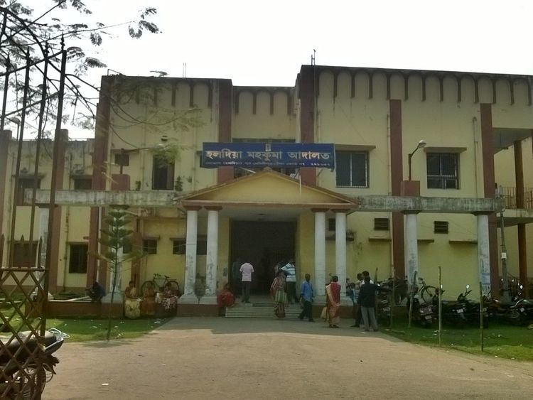
Haldia
Haldia, a city and a municipality in Purba Medinipur, is a major seaport approximately 50 km southwest of Kolkata near the mouth of the Hooghly River, one of the tributaries of the Ganges. It is being developed as a major trade port for Kolkata, intended mainly for bulk cargoes.