
Country India Area 147.9 km² Area code 03228 | Time zone IST (UTC+5:30) Elevation 9 m Population 290,124 (2011) | |
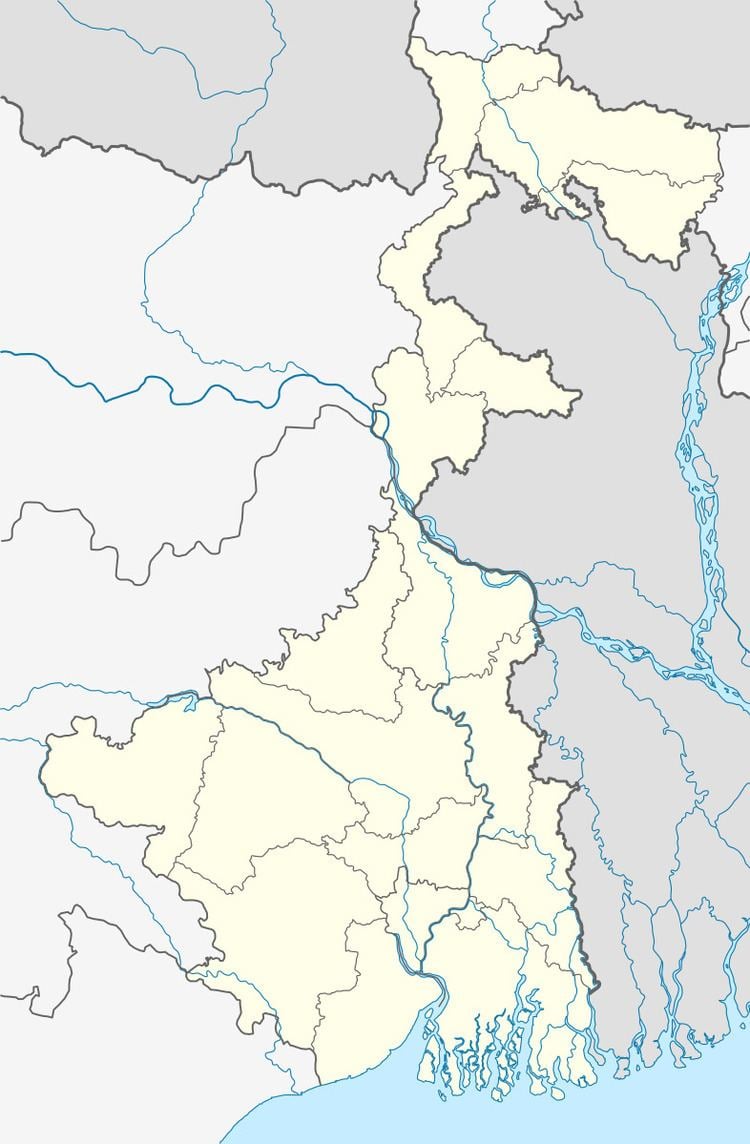 | ||
Kolaghat (earlier referred to as Panskura II block) is a community development block that forms an administrative division in Tamluk subdivision of Purba Medinipur district in the Indian state of West Bengal.
Contents
Overview
Purba Medinipur district is part of the lower Indo-Gangetic Plain and Eastern coastal plains. Topographically, the district can be divided into two parts – (a) almost entirely flat plains on the west, east and north, (b) the coastal plains on the south. The vast expanse of land is formed of alluvium and is composed of younger and coastal alluvial. The elevation of the district is within 10 metres above mean sea level. The district has a long coastline of 65.5 km along its southern and south eastern boundary. Five coastal CD Blocks, namely, Khejuri II, Contai II (Deshapran), Contai I, Ramnagar I and II, are occasionally affected by cyclones and tornadoes. Tidal floods are quite regular in these five CD Blocks. Normally floods occur in 21 of the 25 CD Blocks in the district. The major rivers are Haldi, Rupnarayan, Rasulpur, Bagui and Keleghai, flowing in north to south or south-east direction. River water is an important source of irrigation. The district has a low 899 hectare forest cover, which is 0.02% of its geographical area.
Location
Kolaghat is located at 22°26′N 87°52′E.
Kolaghat CD Block is bounded by Daspur I CD Block, in Paschim Medinipur district, in the north, Bagnan I and Bagnan II CD Blocks, in Howrah district across the Rupnarayan, and Sahid Matangini CD Block in the east, Tamluk CD Block in the south and Panskura CD Block in the west.
It is located 19 km from Tamluk, the district headquarters.
Area and administration
Kolaghat CD Block has an area of 147.91 km2. It has 1 panchayat samity, 13 gram panchayats, 217 gram sansads (village councils), 112 mouzas and 106 inhabited villages. Kolaghat police station serves this block. Earlier, it was called Panskura II CD Block, but was renamed Kolaghat CD Block in 2011. Headquarters of this CD Block is at Kolaghat.
Gram panchayats
Gram panchayats of Kolaghat block/ panchayat samiti are: Amalhanda, Baisnabchak, Bhogpur, Brindabanchak, Deriachak, Gopal Nagar, Khanyadihi, Kola I, Kola II, Pulsita, Sagarbarh, Siddha I and Siddha II.
Population
As per 2011 Census of India Kolaghat CD Block had a total population of 290,124, of which 239,646 were rural and 50,478 were urban. There were 150,246 (52%) males and 139,878 (48%) females. Population below 6 years was 31,450. Scheduled Castes numbered 24,593 (8.48%) and Scheduled Tribes numbered 945 (0.33%).
As per 2001 census, Panskura II block had a total population of 256,875, out of which 132,042 were males and 124,833 were females. Panskura II block registered a population growth of 12.94 per cent during the 1991-2001 decade. Decadal growth for the combined Midnapore district was 14.87 per centDecadal growth in West Bengal was 17.84 per cent.
Census Towns and villages
Census Towns in Kolaghat CD Block (2011 census figures in brackets): Kolaghat (25,191), Amalhara (14,261), Mihitikri (6,906) and Kharisha (4,120).
Large villages (with 4,000+ population) in Kolaghat CD Block (2011 census figures in brackets): Brindaban Chak (10,235), Siddha (5,642), Paramanandapur (4,002), Narayan Pakuria (5,654), Saluka (5,680), Gopal Nagar (5,333), Rain (5,329), Arar (5,618), Raksa Chak (4,308), Mandar Gachha (4,204), Bhogpur (7,559) and Derya Chak (11,358).
Other villages in Kolaghat CD Block (2011 census figures in brackets): Mecheda (673).
Literacy
As per 2011 census the total number of literates in Kolaghat CD Block was 219,686 (84.93% of the population over 6 years) out of which 122,060 (56%) were males and 97,626 (44%) were females.
As per 2011 census, literacy in Purba Medinipur district was 87.02%. Purba Medinipur had the highest literacy amongst all the districts of West Bengal in 2011. Literacy in West Bengal was 77.08% in 2011. Literacy in India in 2011 was 74.04%.
See also – List of West Bengal districts ranked by literacy rate
Language
Bengali is the local language in these areas.
Religion
In 2011 census Hindus numbered 227,164 and formed 78.30% of the population in Kolaghat CD Block. Muslims numbered 62,369 and formed 21.50% of the population. Others numbered 591 and formed 0.20% of the population.
In 2011, Hindus numbered 4,343,972 and formed 85.24% of the population in Purba Medinipur district. Muslims numbered 743,436 and formed 14.59% of the population. In West Bengal, Hindus numbered 64,385,546 and formed 70.53% of the population. Muslims numbered 24,654,825 and formed 27.01% of the population.
Human Development Report
According to the District Human Development Report of Purba Medinipur: the density of population (2001 census) at 1,028 persons per km2 was higher than the West Bengal average of 903 persons per km2. It is an overwhelmingly rural district with the urban population being only 7.23% of the total population. The scheduled castes form 19.05% of the total population and the scheduled tribes 5.41%, the former or the two together being the lowest in the state.
The agricultural sector is the lifeline of a predominantly rural economy. It is largely dependent on the Low Capacity Deep Tubewells (around 50%) or High Capacity Deep Tubewells (around 27%) for irrigation, as the district does not have a good network of canals, compared to some of the neighbouring districts. In many cases the canals are drainage canals which get the backflow of river water at times of high tide or the rainy season.
In 2007-08, around 85% of the mouzas in the district had electric connections and around 40% of rural households had electricity. Over 90% of the rural households had access to toilet facility. In rural areas the tubewell was taken to be a reliable source of drinking water till arsenic contamination put a question mark on it. Piped water supply is a distant dream for rural people. In the rural areas of the district 6% households enjoy piped drinking water supply facility. In Purba Medinipur, around 70% of the people have a low standard of living.
The average size of land holding in Purba Medinipur, in 2005-06, was 0.73 hectares against 1.01 hectares in West Bengal. In 2001, agricultural workers plus cultivators formed 55.41% of the total workers (main plus marginal). For rice cultivation, the area cultivated under Aman (or winter crop) is one and a half times that of the area under Boro (or summer crop). Purba Medinipur’s net district domestic product derives one fifth of its earnings from fisheries, the highest amongst all the districts of West Bengal. Betelvine is a major source of livelihood in Purba Medinipur district, particularly in Tamluk and Contai subdivisions. Betelvine production in 2008-09 was the highest amongst all the districts and was around a third of the total state production. In 2008-09, Purba Mednipur produced 2,789 tonnes of cashew nuts from 3,340 hectares of land.
The report has provided CD Block-wise data for Modified Human Poverty Index of the district. The information has been modified to suit this page and published in the table alongside. The CD Block-wise mean MHPI is estimated at 24.9. 11 out of 25 CD Blocks are found to be severely deprived in respect of grand CD Block average value of MHPI (CD Blocks with lower amount of poverty are better): All the CD Blocks of Haldia and Contai subdivisions appeared backward, except Ramnagar I & II, of all the blocks of Egra subdivision only Bhagabanpur I appeared backward and in Tamluk subdivision none appeared backward.
(Note: Certain topics, such as Literacy, Education, Healthcare etc., are not covered here and are covered elsewhere in this page.)
Kolaghat Thermal Power Station
Kolaghat Thermal Power Station is a coal-fired thermal power plant consisting of 6 units of 210 MW located at Mecheda. The units were synchronised between 1984 and 1993.
Infrastructure
Kolaghat CD Block had 4,870 hectares of canals. In 2003-04 Kolaghat had 12 km of surfaced roads under PWD, 90 km surfaced roads and 24 unsurfaced roads under Zilla Parishad and 175 km surfaced roads and 90 km unsurfaced roads under Gram Panchayat and Panchayat Samiti.
Agriculture
In 2003-04 the farmers of Kolaghat CD Block could be classified as follows: Bargadars 2.51%, patta (document) holders 2.85%, small farmers 5.37%, marginal farmers 52.41% and agricultural labourers 36.85%.
As of 2003-04, Kolaghat CD Block had 1,088 hectares vested land, out of which 129 hectares was distributed amongst 1,343 persons.
In 2003-04 net area sown in Kolaghat CD Block was 11,976 hectares and the area in which more than one crop was grown was 9,084 hectares.
In 2003-04 Panskura II CD Block produced 300 tonnes of Aus paddy from 230 hectares, 16,750 tonnes of Aman paddy from 10,020 hectares, 30,120 tonnes Boro paddy from 9, 630 hectares, 440 tonnes of jute from 30 hectares and 300 tonnes of potatoes from 20 hectares.
Pisciculture
In Kolaghat CD Block 781 hectares was the nett area under effective pisiculture and 295 persons were engaged in the profession. Approximate annual production in 2003-04 was 13,672 qtl.
Transport
The Howrah-Kharagpur line was constructed in 1900. The Howrah–Kharagpur line was electrified in 1967-69. Kolaghat and Mecheda are stations on this line.
The Dankuni-Kharagpur sector of NH 16 (old number NH 6) passes through this block.
Kolaghat CD Block has 8 ferry services and 2 originating/ terminating bus routes.
Education
In 2003-04, Kolaghat CD Block had 152 primary schools with 22,494 students, 8 middle schools with 2,640 students, 11 high schools with 7,744 students and 12 higher secondary schools with 11,896 students. Panskura II CD Block had 1 professional and technical institution with 281 students, 253 institutions with 11,751 students for special and non-formal education.Panskura II CD Block had 189 mass literacy centres
Kolaghat (community development block) has a long history of education. Many high schools are present here, viz: 1. Bhogpur K. M. High School 2. Kishorchak Banamali High School
Healthcare
Kolaghat CD Block had 3 health centres, 39 clinics and 1 dispensary with 25 beds and 4 doctors in 2003.