
Country India State | District | |
 | ||
Languages spoken | ||
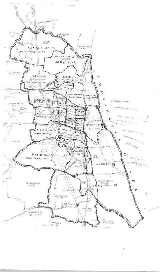
Map of Tamluk
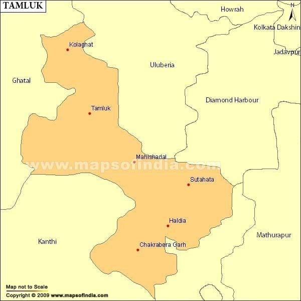
Tamluk is a town in India. It is the district headquarters of Purba Medinipur district of West Bengal, India. Though there is some controversy, scholars have generally agreed that present day Tamluk is the site of the ancient city variously known as Tamralipta or Tamralipti. The present town is located on the banks of the Rupnarayan River close to the Bay of Bengal.
Contents
- Map of Tamluk
- Kgp wdm3a tamralipta exp curves tamluk digha section
- Demographics
- History
- Police station
- People
- Economy
- Agriculture
- Transport
- Education
- Health
- Landmarks and tourist places
- Notable people
- References
Kgp wdm3a tamralipta exp curves tamluk digha section
Demographics
At the 2001 census of India, Tamluk had a population of 45,826. Males constituted 52% of the population and females 48%. Tamluk had an average literacy rate of 77%, higher than the national average of 59.5%; male literacy was 83%, and female literacy was 72%. 11% of the population was under 6 years of age.
History
This ancient kingdom and port city was bounded by the Bay of Bengal in the south, Rupnarayan River in the east and Subarnarekha River in the west. The Rupnarayana is the joint flow of the rivers Dwarakeswar and Silai. The Bay of Bengal and these great rivers with their numerous branches created a prosperous and easy water navigational system fostering commerce, culture and early contacts with the people outside the region. At the same time, these rivers helped to develop the agriculture in this region.
Archaeological remains show continuous settlement from about the 3rd century BC. It was known as Tramralipta (in the Puranas and the Mahabharata), Tamralipta (in the Mahabharata), Tamalika (in historical documents), Tamalitti (in foreigners' descriptions), or Tamoluk (in the British Raj). It was a seaport, now buried under river silt. For this reason, Tamluk has many ponds and lakes remaining today.
In the Mahabharata (Bhishma Parba/Nabam Adhyay), while describing the names of the holiest rivers and kingdoms of India, Sanjay took the name of "Tramralipta" to Dhritarashtra.
Tamluk was also known as Bhivas, in religious texts, and Madhya Desh, as the Middle State of Utkal/Kalinga and Banga.
According to Jain sources, Tamralipti was the capital of the kingdom of Venga and was long known as a port.
Police station
Tamluk police station has jurisdiction over Tamluk (municipality) and Tamluk CD Block. Tamluk police station covers an area of 214.14 km2 with a population of 352,748.
People
The people of Tamluk are primarily Bengali speaking. There are some lingering effects of successive migrations and invasions from both the west, east, and especially from northern India . Its history shows the complex combination of indigenous, Muslim, Buddhist, Jain and Hindu cultures, through trade, travel, and migration.
Unlike other parts of Bengal, Tamluk was always well connected with the Gangetic plains. In fact, there is evidence to suggest that the culture of Aryavarta influenced life in early Tamluk. The worship of Bheema is a sign of the socio-religious acceptance of Aryan culture in this area. Even in the recent past, Tamluk was divided into many areas based on caste and occupation, such as Malakar Para (flower traders), Adhikary Para (Brahmins), Metia Para in Nimtala (transport business and timber merchants), Dey Para (gold traders), and Mathore Para (sweeper's colony).
Economy
As a seaport, Tamluk was once famous as a centre for trade.
The main trade presently is of paan (betel leaf). The building of bus bodies is another important business, as is transport.
Agriculture
Tamluk is mainly an agricultural area. About 60% of the land is under cultivation. Tamluk is one of the largest producers and exporters of paan (betel leaf). Fishing was an important occupation of the local residents.
Transport
Tamluk is well linked by road and rail. Tamluk is a major roadway junction with six bus-routes originating from it:
NH 116 and SH 4 passes through Tamluk. IN TAMLUK TOWN, THERE ARE MANY BUS STOPPAGE-LIKE 1.MANIKTALA 2.BNAAS POOL 3.HOSPITAL MORE 4.DM OFFICE 5.NIMTALA
Tamluk also has a railway junction.
Education
There are many schools and colleges in Tamluk.
There is no university but Indira Gandhi National Open University (IGNOU) has a presence in the form of a Study Centre with Tarun Sangha Information & Documentation Centre (TASIDOC) as the host institution.
Health
There is a district hospital in the town, named Tamluk District Hospital.