Time zone IST (UTC+5:30) Area 941 km² | Vehicle registration WB ISO 3166 code ISO 3166-2:IN | |
 | ||
Egra subdivision is a subdivision of the Purba Medinipur district in the state of West Bengal, India.
Contents
- Map of Egra West Bengal
- Subdivisions
- Administrative units
- Area
- Police stations
- Blocks
- Gram Panchayats
- Education
- Healthcare
- Electoral constituencies
- References
Map of Egra, West Bengal
Subdivisions
Purba Medinipur district is divided into the following administrative subdivisions:
Administrative units
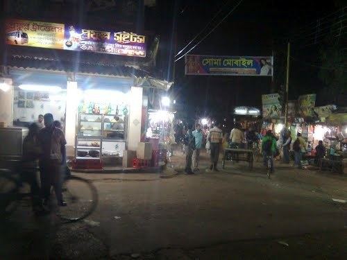
Egra subdivision has 3 police stations, 5 community development blocks, 5 panchayat samitis, 42 gram panchayats, 708 mouzas, 682 inhabited villages, 1 municipality and 3 census towns. The municipality is: Egra. The census towns are: Amarshi Kasba, Benudiya and Hincha Gerya. The subdivision has its headquarters at Egra.
Area
Egra subdivision has an area of 940.96 km2, population in 2011 of 958,939 and density of population of 1,019 per km2. 18.82% of the population of the district resides in this subdivision.
Police stations
Police stations in Egra subdivision have the following features and jurisdiction:
*The data for area is as per the website of Purba Medinipur Police, but it appears that it has not been updated for a long time.
Blocks
Community development blocks in Egra subdivision are:
Gram Panchayats
The subdivision contains 42 gram panchayats under 5 community development blocks:
Education
With a literacy rate of 87.66% Purba Medinipur district ranked first amongst all districts of West Bengal in literacy as per the provisional figures of the census of India 2011. Within Purba Medinipur district, Tamluk subdivision had a literacy rate of 85.98%, Haldia subdivision 86.67%, Egra subdivision 86.18% and Contai subdivision 89.19%. All CD Blocks and municipalities in the district had literacy levels above 80%.
Given in the table below (data in numbers) is a comprehensive picture of the education scenario in Purba Medinipur district for the year 2013-14. It may be noted that primary schools include junior basic schools; middle schools, high schools and higher secondary schools include madrasahs; technical schools include junior technical schools, junior government polytechnics, industrial technical institutes, industrial training centres, nursing training institutes etc.; technical and professional colleges include engineering colleges, polytechnics, medical colleges, para-medical institutes, management colleges, teachers training and nursing training colleges, law colleges, art colleges, music colleges etc. Special and non-formal education centres include sishu siksha kendras, madhyamik siksha kendras, centres of Rabindra mukta vidyalaya, recognised Sanskrit tols, institutions for the blind and other handicapped persons, Anganwadi centres, reformatory schools etc.
Healthcare
The table below (all data in numbers) presents an overview of the medical facilities available and patients treated in the hospitals, health centres and sub-centres in 2014 in Purba Medinipur district.
Electoral constituencies
Lok Sabha (parliamentary) and Vidhan Sabha (state assembly) constituencies in Purba Medinipur district were as follows:
