
Country United States GNIS feature ID 453717 Local time Monday 9:12 AM | FIPS code 18-58986 Elevation 190 m Population 934 (2010) | |
 | ||
Weather 9°C, Wind SE at 3 km/h, 92% Humidity Area 115.6 km² (115.4 km² Land / 21 ha Water) | ||
Perry Township is one of eleven townships in Clay County, Indiana. As of the 2010 census, its population was 934 and it contained 419 housing units.
Contents
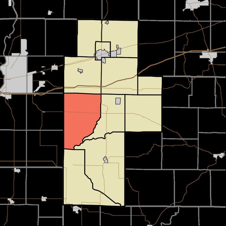
- Map of Perry Township IN USA
- History
- Geography
- Unincorporated towns
- Adjacent townships
- Major highways
- Cemeteries
- References
Map of Perry Township, IN, USA
History
The Aqueduct Bridge and Jeffers Bridge are listed on the National Register of Historic Places.
Geography
According to the 2010 census, the township has a total area of 44.65 square miles (115.6 km2), of which 44.57 square miles (115.4 km2) (or 99.82%) is land and 0.08 square miles (0.21 km2) (or 0.18%) is water.
Unincorporated towns
(This list is based on USGS data and may include former settlements.)
Adjacent townships
Major highways
Cemeteries
The township contains three cemeteries: Mount Calvary, Stagg and Zion Gummere.
References
Perry Township, Clay County, Indiana Wikipedia(Text) CC BY-SA