
Country United States GNIS feature ID 453381 Population 2,172 (2010) | FIPS code 18-31684 Elevation 184 m | |
 | ||
Weather 3°C, Wind SE at 13 km/h, 53% Humidity Area 162.3 km² (161.2 km² Land / 111 ha Water) | ||
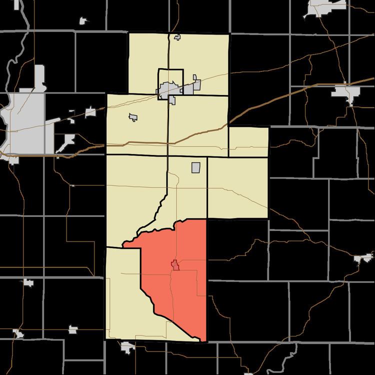
Harrison Township is one of eleven townships in Clay County, Indiana. As of the 2010 census, its population was 2,172 and it contained 1,040 housing units.
Contents
History
The Feeder Dam Bridge and Tide Water Pumping Station are listed on the National Register of Historic Places.
Geography
According to the 2010 census, the township has a total area of 62.67 square miles (162.3 km2), of which 62.24 square miles (161.2 km2) (or 99.31%) is land and 0.43 square miles (1.1 km2) (or 0.69%) is water.
Cities and towns
Unincorporated towns
(This list is based on USGS data and may include former settlements.)
Adjacent townships
Major highways
Cemeteries
The township contains nine cemeteries: Cole, Duncan, Goshorn Memorial Park, Greenwell, Liechty, Maple Grove, Maple Grove, Sink and Wilson.
References
Harrison Township, Clay County, Indiana Wikipedia(Text) CC BY-SA