
Country United States GNIS feature ID 453548 Population 1,464 (2010) | FIPS code 18-43002 Elevation 167 m Local time Thursday 12:05 PM | |
 | ||
Weather 1°C, Wind S at 6 km/h, 42% Humidity Area 114.5 km² (114.1 km² Land / 44 ha Water) | ||
Lewis Township is one of eleven townships in Clay County, Indiana. As of the 2010 census, its population was 1,464 and it contained 632 housing units.
Contents
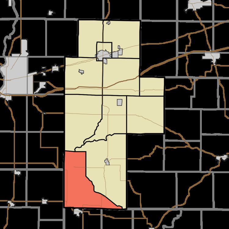
- Map of Lewis Township IN USA
- History
- Geography
- Unincorporated towns
- Adjacent townships
- Major highways
- Cemeteries
- References
Map of Lewis Township, IN, USA
History
Lewis Township was organized in the 1840s. It was named for Lewis Cass.
Geography
According to the 2010 census, the township has a total area of 44.22 square miles (114.5 km2), of which 44.05 square miles (114.1 km2) (or 99.62%) is land and 0.17 square miles (0.44 km2) (or 0.38%) is water.
Unincorporated towns
(This list is based on USGS data and may include former settlements.)
Adjacent townships
Major highways
Cemeteries
The township contains three cemeteries: Oak Grove, Old Union and Sanders.
References
Lewis Township, Clay County, Indiana Wikipedia(Text) CC BY-SA