
Existed: 1972 – present Constructed 1972 | Length 261 km | |
 | ||
Major cities Moncton, Shediac, Bathurst, Campbellton, Miramichi, Dalhousie, Rexton, Saint-Louis-de-Kent, Belledune | ||
Route 134 is a 261 km (162 mi)-long north-south secondary highway in eastern New Brunswick, Canada. The highway is divided by into a northern and southern section by a gap in Northumberland County connected by Route 11 and Route 8.
Contents
- Map of NB 134 New Brunswick Canada
- Moncton
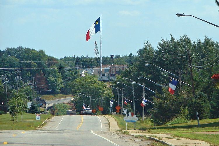
- Rural Westmorland County
- Restigouche County
- History
- Intersecting routes
- River crossings
- References
Map of NB-134, New Brunswick, Canada
Moncton
The route's southern terminus begins at the intersection of Route 106 in Moncton (Main St) where the route is called Botsford St. The route travels north crossing Route 126 (Mountain Rd), then Route 15 (Wheeler Blvd). Now known as Lewisville Road, the route crosses Humphrey Brook, passing the southern terminus of Route 115, turning north east and is known as Shediac Rd. Continuing out of the city crossing under Route 2 as it exits the city passing through Lakeville north east.
Rural Westmorland County
The route continues north-east passing through the community of Shediac Cape in Westmorland County, crossing Route 11 where it takes a sharp turn north at the northern terminus of Route 133.
Restigouche County
In Restigouche County, it runs along New Brunswick's east coast to merge with Route 11 just south of Kouchibouguac. Route 134 appears again in Gloucester County, where it splits off from Route 8, running parallel with Route 8 as far as Bathurst. At this point, Route 134 continues on following the southwest shore of Chaleur Bay to the northern tip of Restigouche County where it ends at Route 11 in Tide Head.
History
Route 134, for the most part, consists of former routings of Route 8 and Route 11. It was first designated in 1972 with the opening of the Shediac four-lane highway between Moncton and Shediac (now part of Route 15). Different sections of Route 134 continued to appear between the mid-1970s and the early 1990s as construction continued of new controlled-access alignments of Route 8 and Route 11.
As Route 11 between Kouchibouguac and Miramichi, and a stretch of Route 8 south of Allardville have never been upgraded, Route 134 remains a "broken" route.
A third segment of Route 134 appeared briefly on maps in the early 1990s along Oldfield Road north of Miramichi (after a new alignment of Route 8 was constructed), whether it was signed or officially part of the route is uncertain.
Route 134 was rerouted in a portion of Belledune in 1996 after the footprint of a new power plant took over a section of the route's former alignment
Intersecting routes
North to South: