
Length 28.22 km | ||
 | ||
East end: Route 134 in Gilberts Corner West end: Route 15 in Botsford Portage | ||
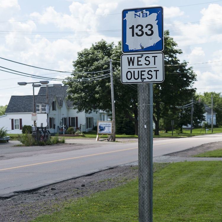
Route 133 is a mostly east/west provincial highway in the Canadian province of New Brunswick.
Contents
- Map of NB 133 New Brunswick Canada
- Route description
- Intersecting routes
- River crossings
- Communities along Route
- References
Map of NB-133, New Brunswick, Canada
Route description
The road is a continuation of Route 134 in Gilberts Corner. The road has a length of approximately 28 kilometers, and services small, otherwise isolated rural communities. In these areas, the highway is often unofficially referred to as "Main Street." The road runs mostly between the Northumberland Strait and Route 15 and a small portion of Route 11 in Greater Shediac. The road starts out as Hannington Road in Gilberts Corner, and is known as Main Street in Shediac. It is designated Acadie Road throughout most of the way to Route 15.
Intersecting routes
River crossings
Communities along Route
References
New Brunswick Route 133 Wikipedia(Text) CC BY-SA