
Existed: 1965 – present Length 43.98 km | Constructed 1965 | |
 | ||
North end: Route 134 in Saint-François-de-Kent Major cities Irishtown, New Brunswick, Saint-Antoine, Notre-Dame, New Brunswick | ||
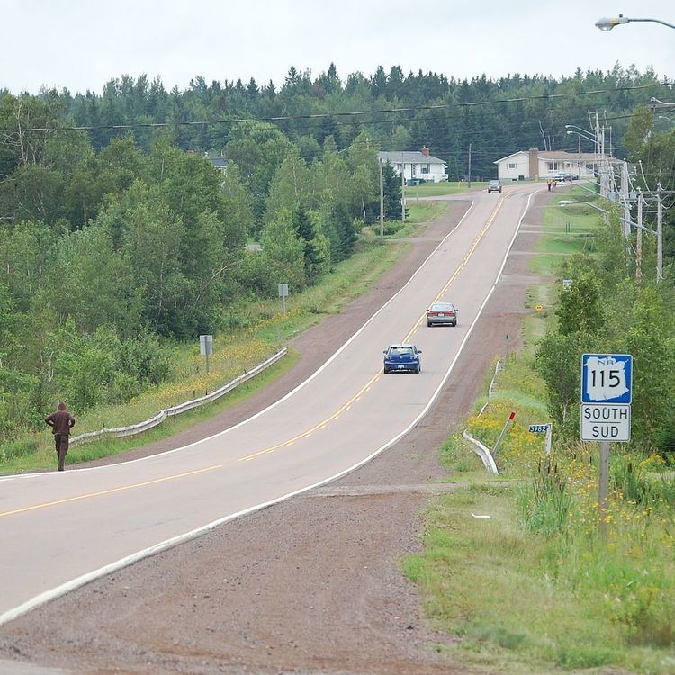
Route 115 is a highway in New Brunswick, Canada; running from a junction with Route 134 in the Lewisville neighbourhood of Moncton to Route 134 in Saint-François-de-Kent (near Bouctouche, a distance of 44 kilometres.
Contents
Map of NB-115, New Brunswick, Canada
In Moncton, Route 115 follows Elmwood Drive, a suburban arterial running due north from the city through the neighbourhood of Sunny Brae. The route continues north to the community of Irishtown, then northeast to Notre-Dame. From Notre-Dame, Route 115 turns north to the village of Saint-Antoine, New Brunswick, then follows the south bank of the Little Bouctouche River to through McKees Mills as it ends in Saint-Francois-de-Kent.
History
Route 115 came into existence in 1965 as a renumbering of Route 31, during a mass redesignation of provincial highways. Until the late 1970s, Route 115 was routed from Notre-Dame eastward along present-day Route 535 to its former northern terminus in Cocagne.