
Existed: 1920s – present | Length 79 km | |
 | ||
New brunswick route 15 moncton shediac port elgin
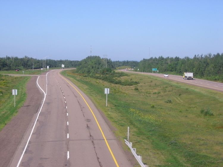
Route 15 is 79 km long and is in the southeastern corner of the province of New Brunswick. Starting at the north end of the Petitcodiac River Causeway, it loops around the city of Moncton on Wheeler Boulevard, then turns northeast from Dieppe to Shediac. From there, it turns east and bypasses Cap-Pelé crossing the Scoudouc River, then southeast to meet the Trans-Canada Highway at Port Elgin. The highway is a divided freeway from Moncton to just east of Shediac, where it remains a controlled-access highway until east of Cap-Pele.
Contents
- New brunswick route 15 moncton shediac port elgin
- Map of NB 15 New Brunswick Canada
- History
- Major intersections
- References
Map of NB-15, New Brunswick, Canada
History
Route 15 only extended from Shediac to Port Elgin until the early 1970s, when the Shediac Four-Lane Highway (the first rural expressway in New Brunswick) was built from Dieppe to Shediac. Its construction was controversial, with critics alleging that it was only built to give Moncton-area politicians better access to their summer cottages in the Shediac area. A two-lane bypass of Shediac itself was built shortly afterward.
The Wheeler Boulevard was developed and constructed through the 1970s and 1980s, and was fully complete by 1989.
A two-lane bypass of Cap-Pele opened to traffic in 1998. Since then it has proven itself to be a very dangerous highway artery in southeastern New Brunswick.
In 2012, a section of this highway between Moncton and Shediac was designated "Veteran's Memorial Highway".
Major intersections
The entire route is in Westmorland County.