
Length 2,040 km | ||
 | ||
Primarydestinations: Kottagudam – Bhadrachalam – Penta | ||
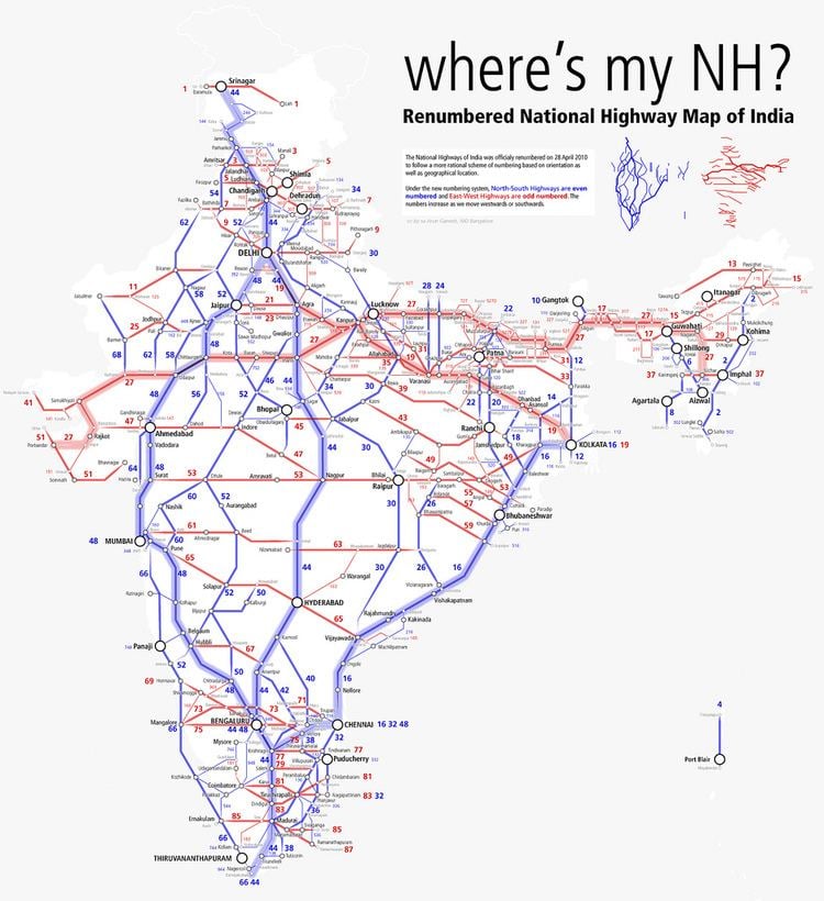
National Highway 30 (NH 30) (previously National Highway 221) is a National Highway in India. NH 30 connects Sitarganj in Uttarakhand with Ibrahimpatnam in Andhra Pradesh. The total length of this highway is 2040 km (1267.5 mi) t starts at the junction of NH 9 at Sitarganj and ends at the junction of NH 65 at Ibrahimpatnam.
Contents
Map of NH30
Route
NH 30 passes through the states of Chhattisgarh, Andhra Pradesh Telangana. Madhya Pradesh Uttar Pradesh and Uttarakhand covering a distance of 2,040 km passing through the cities of Sitarganj, Pilibhit, Bareilly, Shahjahanpur, Sitapur, Lucknow, Raebareli, Allahabad , Rewa, Jabalpur, Raipur, Dhamtari, Keskal, Jagdalpur, Konta, Nellipaka, Bhadrachalam, Kothagudem, Tiruvuru and Ibrahimpatnam
References
National Highway 30 (India) Wikipedia(Text) CC BY-SA