
Country State | Population 151,908 (2001) Area 5,743 km2 Founded 1937 | |
 | ||
Languages spoken Official, Hindi, Urdu, Awadhi | ||
Map of Sitapur
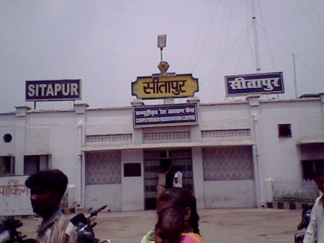
Sitapur is a city and a municipal board in Sitapur district in the state of Uttar Pradesh, India. It is in the Lucknow Division. The town is located on the banks of river Sarayan, halfway between Lucknow and Shahjahanpur and is well connected to state capital Lucknow by the National Highway No. 24. In British India, it was spelled as Citapore and was a cantonment, garrisoned by a portion of a British regiment. The traditional origin for the name is said to be by the King Vikramāditya from Lord Ram's wife Sita.
Contents
- Map of Sitapur
- Rudravarta in naimisharanyadisttsitapuru p
- Administration
- Parks and picnic spots
- School and college
- Wahid biryani since 1955 the real mughlai food
- References
Rudravarta in naimisharanyadisttsitapuru p
Administration
The district is divided into 7 tehsils: Sitapur, Biswan, Mishrikh, Maholi, Laharpur, Mahmoodabad and Sidhauli. There are 19 blocks, 2 parliamentary constituencies (Sitapur, Mishrikh (SC)) and 9 assembly constituencies (sewta, Biswan, Mahmoodabad, Sidhauli (SC), Laharpur, Sitapur, Hargaon (SC), Mishrikh and Maholi). Total population of the district is 28.57 lakh and the area is 5743 km2. There are 2348 census villages and 1329 Gram Panchayats in the district.
Parks and picnic spots
Ilasia Park, Mahaveer Park, Sarojini Vatika are the main gardens of the city. Vaidehi Vatika, Shahid Capt. Manoj Pandey monument and Shaurya Stambh are important symbols.