
Elevation 834 m | ||
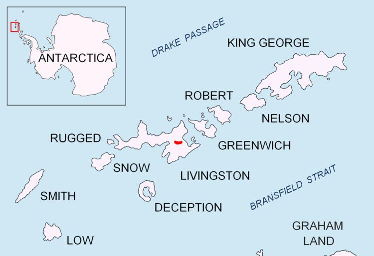 | ||
Mount Bowles is an ice-covered mountain 822 metres (2,697 ft) high, the summit of Bowles Ridge in the central part of eastern Livingston Island in the South Shetland Islands, Antarctica. It is situated south of Vidin Heights and north of Mount Friesland, Tangra Mountains to which it is linked by Wörner Gap.
Contents
Map of Mount Bowles, Antarctica
The origin of the name is uncertain; it appears (poorly positioned and probably intended for some other peak on the island) on the 1829 chart of the British expedition (1828–31) under Captain Henry Foster in HMS Chanticleer.
Mount Bowles was first climbed by Àlex Simón, Vicente Castro, David Hita and a friend from Juan Carlos I Base on January 5, 2003.
Location
According to a 2003 Australian GPS survey the peak is located at 62°37′0.15″S 60°12′08.5″W, which is 9.77 km northwest of Great Needle Peak, 6.08 km north by west of Mount Friesland, 8.77 km east-northeast of St. Kliment Ohridski base and 9.25 km south by west of Miziya Peak.