
 | ||
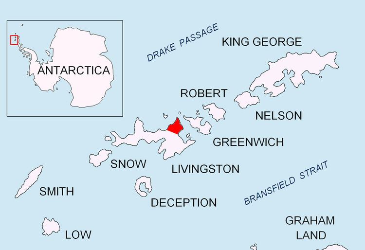
Miziya Peak (Vrah Miziya \'vr&h 'mi-zi-ya) is the 604 m summit of Vidin Heights on Varna Peninsula, eastern Livingston Island in the South Shetland Islands, Antarctica. The peak overlooks Kaliakra Glacier to the south, and Saedinenie Snowfield to the northwest.
Contents
Map of Miziya Peak, Antarctica
The peak is named after the Bulgarian town of Miziya in relation to the ancient Thracian province of Miziya (Moesia).
First ascent by Lyubomir Ivanov from Camp Academia on 25 December 2004, as part of Tangra 2004/05 survey.
Location
The peak is located at 62°32′08″S 60°09′52.7″W, which is 7.4 km north of Melnik Peak, 9.25 km north by east of Mount Bowles, 4.24 km north-northeast of Leslie Hill, 4.19 km north-northeast of Castra Martis Hill, 5.4 km northeast of the summit of Gleaner Heights, 4.55 km south-southeast of Kotis Point, 9.47 km south of Williams Point and 7.52 km west of Edinburgh Hill (Bulgarian topographic survey Tangra 2004/05, and mapping in 2005 and 2009).