
GNIS feature ID 0453496 Area 94.3 km² Population 545 (2010) | ZIP codes 46996, 47946, 47957 Elevation 212 m Local time Friday 2:19 PM | |
 | ||
Weather 1°C, Wind N at 27 km/h, 25% Humidity | ||
Jefferson Township is one of twelve townships in Pulaski County, Indiana, United States. As of the 2010 census, its population was 545 and it contained 230 housing units.
Contents
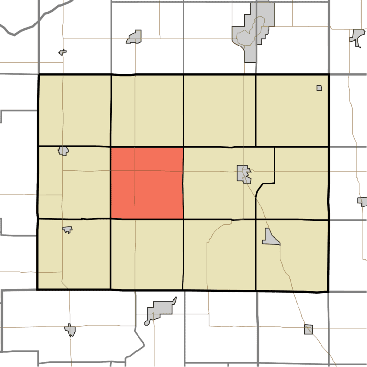
- Map of Jefferson Township IN USA
- Geography
- Adjacent townships
- Cemeteries
- Major highways
- School districts
- Political districts
- References
Map of Jefferson Township, IN, USA
Jefferson Township was organized in 1851, and named after Thomas Jefferson, third President of the United States.
Geography
According to the 2010 census, the township has a total area of 36.4 square miles (94 km2), all land.
Adjacent townships
Cemeteries
The township contains these three cemeteries: Burroughs, Idle and Koster.
Major highways
School districts
Political districts
References
Jefferson Township, Pulaski County, Indiana Wikipedia(Text) CC BY-SA