
GNIS feature ID 0453427 Area 92.64 km² Population 691 (2010) | ZIP codes 46985, 46996 Elevation 213 m Local time Sunday 1:59 AM | |
 | ||
Weather -5°C, Wind N at 8 km/h, 45% Humidity | ||
Indian Creek Township is one of twelve townships in Pulaski County, Indiana, United States. As of the 2010 census, its population was 691 and it contained 422 housing units.
Contents
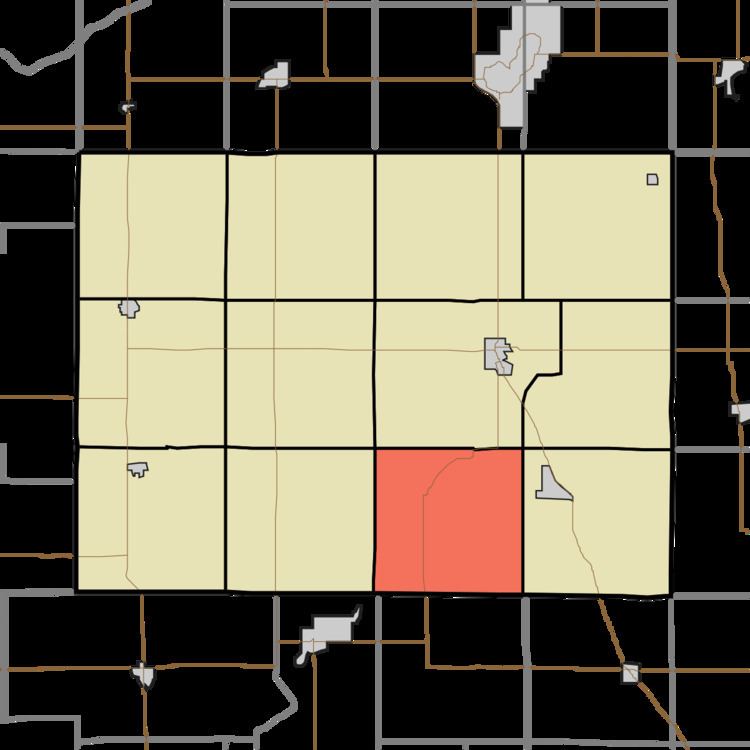
- Map of Indian Creek Township IN USA
- Geography
- Unincorporated towns
- Adjacent townships
- Cemeteries
- Airports and landing strips
- Major highways
- School districts
- Political districts
- References
Map of Indian Creek Township, IN, USA
Indian Creek Township was organized in 1842, and named after Indian Creek.
Geography
According to the 2010 census, the township has a total area of 35.77 square miles (92.6 km2), of which 35.51 square miles (92.0 km2) (or 99.27%) is land and 0.26 square miles (0.67 km2) (or 0.73%) is water.
Unincorporated towns
(This list is based on USGS data and may include former settlements.)
Adjacent townships
Cemeteries
The township contains these three cemeteries: Hoover, Indian Creek and Saint Joseph's.
Airports and landing strips
Major highways
School districts
Political districts
References
Indian Creek Township, Pulaski County, Indiana Wikipedia(Text) CC BY-SA