
GNIS feature ID 0453167 Area 93.65 km² Population 878 (2010) | ZIP codes 46366, 46374, 47957 Elevation 215 m Local time Sunday 10:56 PM | |
 | ||
Weather 12°C, Wind S at 29 km/h, 55% Humidity | ||
Cass Township is one of twelve townships in Pulaski County, Indiana, United States. As of the 2010 census, its population was 878 and it contained 376 housing units.
Contents
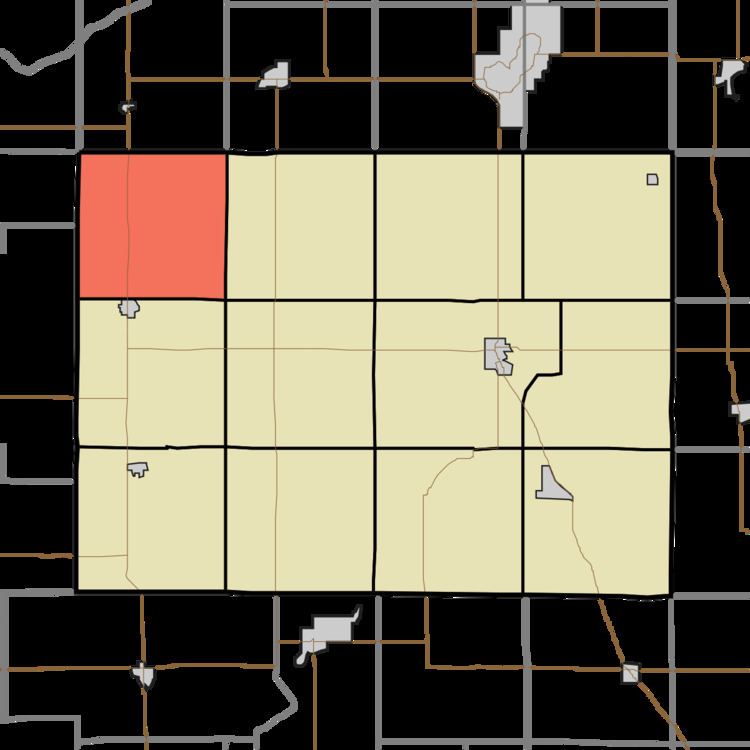
- Map of Cass Township IN USA
- Geography
- Unincorporated towns
- Adjacent townships
- Cemeteries
- Major highways
- School districts
- Political districts
- References
Map of Cass Township, IN, USA
Cass Township was organized in 1850.
Geography
According to the 2010 census, the township has a total area of 36.16 square miles (93.7 km2), all land.
Unincorporated towns
(This list is based on USGS data and may include former settlements.)
Adjacent townships
Cemeteries
The township contains Bethlehem Cemetery, Noggle Cemetery, St. John's Cemetery, and Sutton Cemetery.
Major highways
School districts
Political districts
References
Cass Township, Pulaski County, Indiana Wikipedia(Text) CC BY-SA