
GNIS feature ID 454052 Area 94.43 km² Population 1,075 (2010) | ZIP codes 47946, 47957 Elevation 206 m Local time Sunday 2:45 AM | |
 | ||
Weather 4°C, Wind N at 2 km/h, 61% Humidity | ||
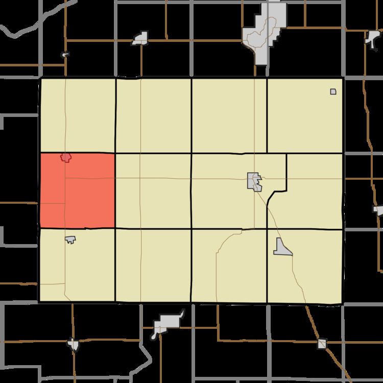
White Post Township is one of twelve townships in Pulaski County, Indiana, United States. As of the 2010 census, its population was 1,075 and it contained 474 housing units. The township is a almost precise 6 mile by 6 mile square; 36.46 square miles and runs from the intersection of County Road 200N and County Road CR1700W (Jasper County line) southwards along CR1700W to CR400S thence east to CR 1100W thence north to CR200N and finally back west to the origin.
Contents
- Map of White Post Township IN USA
- Geography
- Cities towns villages
- Adjacent townships
- Cemeteries
- Major highways
- School districts
- Political districts
- References
Map of White Post Township, IN, USA
White Post Township took its name from a stagecoach stop named White Post, and it is supposed the stop was named for a nearby large white stump.
Geography
According to the 2010 census, the township has a total area of 36.46 square miles (94.4 km2), all land.
Cities, towns, villages
Adjacent townships
Cemeteries
The township contains five cemeteries: Whtie Post, Medaryville (or Rose Hill), Bowman, Saint Henry's and Saint Mark's.