
Elevation 205 m Zip code 47946 Population 1,399 (2010) | GNIS feature ID 0453824 Area 92.7 km² Local time Wednesday 7:34 AM | |
 | ||
Weather 5°C, Wind E at 10 km/h, 88% Humidity | ||
Salem Township is one of twelve townships in Pulaski County, Indiana, United States. As of the 2010 census, its population was 1,399, and it contained 602 housing units.
Contents
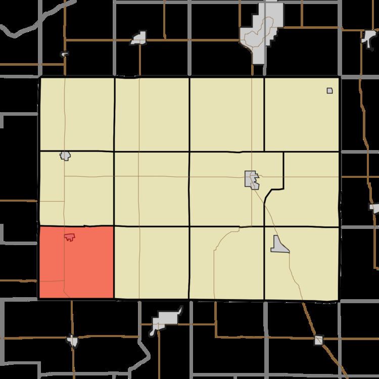
- Map of Salem Township IN USA
- Geography
- Cities towns villages
- Adjacent townships
- Cemeteries
- Major highways
- Airports and landing strips
- School districts
- Political districts
- References
Map of Salem Township, IN, USA
Salem Township was organized in 1843, and most likely was named after Salem Township, Champaign County, Ohio, the native home of a first settler.
Geography
According to the 2010 census, the township has a total area of 35.79 square miles (92.7 km2), all land.
Cities, towns, villages
Adjacent townships
Cemeteries
The township contains these two cemeteries: Nauvoo and Roseland.
Major highways
Airports and landing strips
School districts
Political districts
References
Salem Township, Pulaski County, Indiana Wikipedia(Text) CC BY-SA