
Length 204.9 km | ||
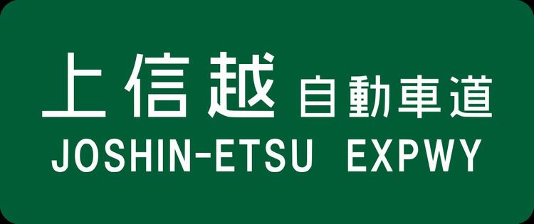 | ||
The Jōshin-etsu Expressway (上信越自動車道, Jōshin-etsu Jidōsha-dō) is a national expressway in Japan. It is owned and operated by East Nippon Expressway Company.
Contents
Map of Joshin-etsu Expressway, Japan
Naming
Jōshin-etsu (上信越) is a kanji acronym consisting of 3 characters, each representing the former names of the prefectures that the route traverses. Kōzuke Province (上野国) consists of present-day Gunma Prefecture, Shinano Province (信濃国) consists of present-day Nagano Prefecture, and Echigo Province (越後国) consists of present-day Niigata Prefecture.
Officially, the expressway is referred to as the Kan-Etsu Expressway Jōetsu Route. This designation consists of the entire Jōshin-etsu Expressway as well as the Kan-Etsu Expressway beyond Fujioka Junction to Nerima Interchange (concurrent with the Kan-Etsu Expressway Niigata Route).
Overview
The expressway begins at a junction with the Kan-Etsu Expressway in southern Gunma Prefecture and heads west, paralleling National Route 254 until Shimonita. From here the route branches north, passing Mount Myōgi, then heads west once more from Annaka. The route parallels National Route 18 from this point until the terminus. The expressway then follows a winding route through the mountainous area separating Gunma and Nagano Prefectures. From Saku, Nagano the route follows a northwesterly course, passing Mount Asama, until it reaches a junction with the Nagano Expressway near the city of Nagano. The route then heads north, following the east bank of the Chikuma River, before heading into the mountainous region separating Nagano and Niigata Prefectures. The expressway continues north through Niigata Prefecture, passing Mount Myōkō, and eventually terminating at a junction with the Hokuriku Expressway in Jōetsu near the Japan Sea coastline.
The first section was completed in 1980 and the entire route was completed in 1999. The expressway is 4 lanes from Fujioka Junction to Toyota-Iiyama Interchange. The remaining section from Toyota-Iiyama Interchange to Jōetsu Junction is 2 lanes, however construction is underway on the section from Toyota-Iiyama Interchange to Shinanomachi Interchange to increase the capacity to 4 lanes. It is expected to be completed in 2009.
List of interchanges and features
There are also 2 snow chain changing areas between Toyota-Iiyama Interchange and Kurohime-Nojiriko Parking Area, and 1 area between Sakaki Interchange and Ueda-Sugadaira Interchange (Fujioka-bound only).