
Phone number 0267-22-1700 Area 98.55 km² Local time Friday 11:14 AM | Website www.city.komoro.lg.jp Population 42,679 (Oct 2016) | |
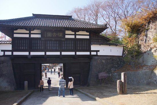 | ||
Weather 4°C, Wind NW at 14 km/h, 50% Humidity Points of interest Komoro Castle, Kurofuyama, Kaiko Shrine, Shakusonji, Otomeko Park | ||
Komoro (小諸市, Komoro-shi) is a city located in eastern Nagano Prefecture, in the Chūbu region of Japan. As of 1 October 2016, the city had an estimated population of 42,679 and a population density of 433 persons per km². Its total area was 98.55 square kilometres (38.05 sq mi).
Contents
- Map of Komoro Nagano Prefecture Japan
- Geography
- Surrounding municipalities
- History
- Education
- Railway
- Highway
- Sister city relations
- Local attractions
- Notable residents
- References
Map of Komoro, Nagano Prefecture, Japan
Geography
Komoro is located in eastern Nagano Prefecture.
Surrounding municipalities
History
The area of present-day Komoro was part of ancient Shinano Province. The area was part of the holdings of Komoro Domain during the Edo period. The modern town of Komoro was established on April 1, 1889 with the establishment of the municipalities system. The town of Komoro annexed villages of Kawanabe, Kitaoi and Osato (all from Kitasaku District) on February 1, 1954. The city of Komoro was established on April 1, 1954 after absorbing the villages of Minamioi and Mioka (both from Kitasaku District). On April 1, 1959 parts of the town of Tobu (now part of the city of Tomi) was merged into Komoro and the city has been unchanged since.
Education
Komoro has six public elementary schools and two public middle schools operated by the city government. There are two public high schools operated by the Nagano Prefectural Board of Education.
Railway
Highway
Sister city relations
Komoro is twinned with: