
Existed: 1969 – present Constructed 1969 | Length 239.3 km | |
 | ||
Touristroutes: Payette River Scenic Byway | ||
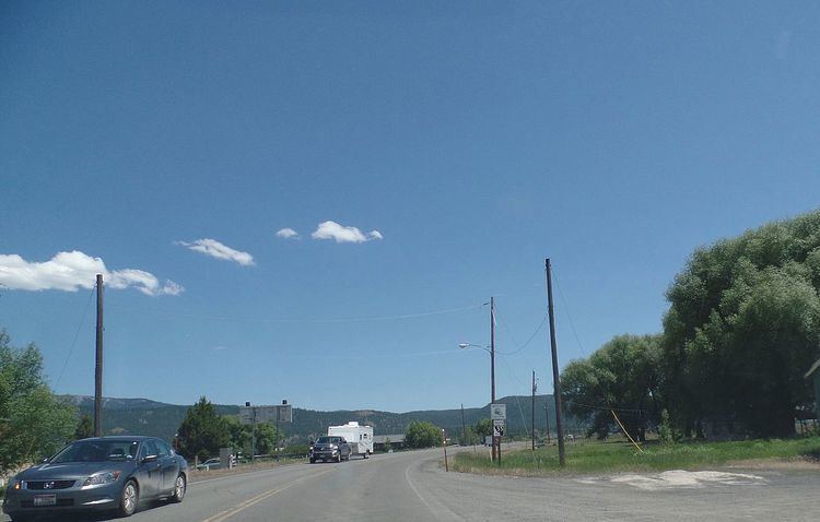
State Highway 55 is an Idaho highway from Marsing to New Meadows, connecting with US-95 at both ends.
Contents
Map of ID-55, Idaho, USA
From Marsing it travels east to Nampa, Meridian, and Eagle, then north to Horseshoe Bend. SH-55 then climbs the Payette River to Banks, then its north fork to the Long Valley, through the towns of Cascade and McCall. After descending a narrow canyon to Meadows, SH-55 terminates in New Meadows at the junction with US-95.
Route description
In the southwest corner of Idaho, State Highway 55 starts at the junction with US-95, approximately 2 miles (3 km) west of Marsing. The highway heads eastward as it travels through Marsing, crosses the Snake River and the Snake River Valley AVA. The highway continues east to Nampa, where it meets Interstate 84 and US-30.
The highway is cosigned with those routes as it heads eastward to Meridian. Highway 55 turns northward at Eagle Road and crosses the Boise River near Eagle. The junction with SH-44 is in Eagle, where the routes are briefly cosigned.
East of Eagle, Highway 55 turns northward and climbs to the Spring Valley and over the Spring Valley Summit, at 4,242 feet (1,293 m), then descends 1,600 feet (490 m) vertically on Horseshoe Bend Hill into Horseshoe Bend. The new multi-lane grade was completed in fall 1991; the old curvier road is to the west, long plagued by landslides and closures. North of Horseshoe Bend, the highway ascends the Payette River and passes through several recreational areas, which offer rafting, fishing, and camping activities. Highway 55 continues north, through the small communities of Banks and Smiths Ferry, then crosses the river via the Rainbow Bridge (built in 1933), originally known as the North Fork Bridge.
SH-55 then climbs Round Valley Creek to Round Valley, and continues northward through the extended Long Valley of Valley County to the county seat of Cascade. It ascends a brief summit at 5,207 feet (1,587 m) at Little Donner (web-cam), then descends to follow the east shore of Cascade Reservoir. The route continues northward to Donnelly, the turnoff for Tamarack Resort, located to the southwest, on the western shore of the reservoir. SH-55 continues north through the valley to McCall, at the south shore of Payette Lake, the host of many scenic, recreational, and winter activities.
Meeting the south shore of Payette Lake, Highway 55 turns westward as Lake Street through McCall and its west "Lardo" area. West of town, the road climbs to the Red Ridge, where it reaches its maximum elevation of 5,330 feet (1,625 m) above sea level, immediately northeast of the Little Ski Hill, also known as Goose Creek Summit (web-cam). Two miles (3 km) further is the turnoff for the Brundage Mountain ski area, four miles (6 km) north on Goose Lake Road. Highway 55 then enters a narrow and twisty canyon, rapidly descending with Little Goose Creek to Meadows, then to its northern terminus, the junction with US-95 in New Meadows at 3,868 feet (1,179 m) in Meadows Valley.
Highway 55, from Eagle north to US-95 in New Meadows, is the Payette River Scenic Byway, part of the National Scenic Byways Program.
History
This route has been designated as State Highway 55 since 1969; and replaced former State Highway 72 and former State Highway 15.
State Highway 55 was originally routed through downtown Boise, and followed the old alignment of State Highway 44 down State Street and 23rd St to Fairview St. From there it turned westward with US-20, US-26 and US-30. The highway continued westward on the Boise Connector then Interstate 180N (now Interstate 184), and continued west along Interstate 80N (now Interstate 84), where it followed its present alignment toward Nampa.
Recently in late 2006. the route was realigned away from downtown Nampa when a new interchange, Interchange #33 along Interstate 84 was opened and provided a more direct connection to State Highway 55 from the interstate. The segments of SH-55 following Nampa Blvd and Caldwell Blvd through Nampa have been decommissioned favoring the more direct routing. From there the highway followed its current alignment from that point to Marsing and its southern terminus at US-95.