
Length 443.6 km | ||
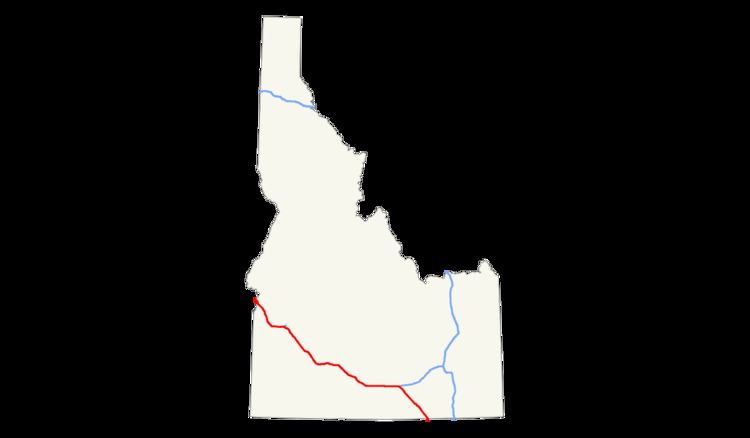 | ||
Interstate 84 (I-84) in the U.S. state of Idaho, also known as The Vietnam Veterans Memorial Highway, heads southeast from the Oregon state line near Fruitland. It connects via I-184 to Boise. Eventually, I-84 connects to Interstate 86, and mainline I-84 heads southeast towards Utah. I-86 continues due east and heads to Pocatello, meeting with I-15. I-84 exits the state to the southeast at the Utah state line near the town of Stone.
Contents
Route description
Eastbound from Oregon, Interstate 84 enters Idaho after crossing the Snake River at an approximate elevation of 2,150 feet (660 m) above sea level. The highway proceeds southeast, passing the community of Fruitland, and reaching an interchange (#3) with U.S. Route 95. It continues southward through rural agricultural area, reaching interchanges with U.S. Route 30 (and Old U.S. 30) as well as passing numerous small buildings. The road continues southeast, traveling parallel to Old U.S. Route 30, reaching an interchange with State Highway 44 from Middleton. The roadway proceeds, interchanging with U.S. Route 20/26, which continue concurrently with the highway.
Interstate 84 Business splits off in Caldwell, while I-84 interchanges with 10th Avenue before U.S. 20/26 split off the roadway. The highway continues southeast through Caldwell, then bends east and enters Nampa. I-84 Business returns to the parent route within the city. Adding lanes, the highway continues through Meridian, reaching interchanges with several small roads.
The roadway enters Boise and reaches an interchange with Interstate 184, its auxiliary route which connects to the city center. The highway turns southeast, passing Boise Airport, and interchanges with several roads, before reaching an interchange with U.S. 20/26, which continue concurrently with I-84. Southeast out of Boise, the interstate ascends past the 3,000-foot (910 m) level, enters rural desert area, and interchanges with a few small roads. It bypasses Mountain Home, where Interstate 84 Business (Old U.S. 30) splits off and enters the community. U.S. 20 splits off and heads east towards Fairfield, the way to the Sun Valley ski resort.
South of Mountain Home, I-84 Business reenters the highway, which proceeds eastward, traveling upstream and parallel to the Snake River, before bypassing Glenns Ferry. The highway continues east near the river, interchanging repeatedly with Old U.S. Route 30, bypassing Bliss, where U.S. 26 splits off east to Gooding and Shoshone. The interstate bends southeast, passing through the Malad Gorge and Thousand Springs State Park, Wendell, and bypassing Jerome. It continues to an interchange with U.S. Route 93, which connects south to Twin Falls, before returning to running parallel to the Snake River.
The interstate proceeds east, now over 4,000 feet (1,220 m) in elevation, passing the Hazelton Municipal Airport, and interchanging with several small roads. It passes north of Burley, then reaches an interchange with Interstate 86, which connects to Pocatello. I-84 proceeds southeast, parallel to State Highway 81 for a short distance, then climbs Meadow Creek to an elevated area which crests at 5,530 feet (1,690 m) at Sweetzer Summit. The highway descends southeast through Juniper Valley to the state line, at 4,500 feet (1,370 m), and continues in Utah.
Future
(As of June 2008) The current pavement starting from the Broadway Interchange in Boise to just before the Cole and Overland Interchange is the original pavement built almost 40 years ago. The Idaho Transportation Department is planning to add a third and fourth lane in that area and repave the bumpy road. In the area between the Meridian Interchange and the Garrity Interchange they are currently creating a third lane due to the heavy traffic in that area. The lanes are now open between Broadway (Exit 54) and the Nampa area (Exit 38). ITD Plans to continue the lanes until about the Caldwell area.