
GNIS feature ID 400096 Population 75 (2010) | Time zone Mountain (MST) (UTC-7) Elevation 1,388 m Area code 208 | |
 | ||
Area 5.203 km² (4.789 km² Land / 41 ha Water) | ||
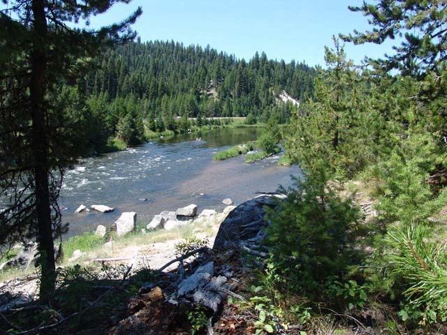
Smiths Ferry is a census-designated place in Valley County, Idaho, United States. Its population was 75 as of the 2010 census. Situated where the North Fork of the Payette River briefly calms and widens, its elevation is 4,554 feet (1,388 m) above sea level.
Contents
Map of Smiths Ferry, ID 83611, USA
A ferry at the river was established by Clinton Meyers in 1887 to transport livestock to summer pasture in the Round and Long Valleys across the river. Also popular with freighters, the ferry was sold by Meyers to Jim Smith in 1891, hence the name Smith's Ferry.
Highway
Smiths Ferry sits along State Highway 55, the primary north-south route out of Boise, It was designated the "Payette River Scenic Byway" in 1977.
References
Smiths Ferry, Idaho Wikipedia(Text) CC BY-SA