
Area 4,313 km² | Website Official website Local time Saturday 6:26 PM | |
 | ||
Weather 26°C, Wind NW at 11 km/h, 27% Humidity Administrative division North Chotanagpur division Points of interest Canary (Kanheri) Hill Hazar, Sanskriti Museum & Art Gallery, Hazaribag National Park, Range Office Colleges and Universities Vinoba Bhave University, St Columba's College, Markham College of Commerce | ||
Hazaribagh district (Hindi: हज़ारीबाग़ ज़िला) is one of the twenty-four districts of Jharkhand state, India, and Hazaribagh town is the district headquarters. It is currently a part of the Red Corridor.
Contents
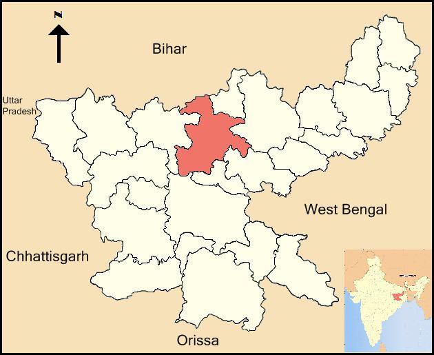
Map of Hazaribagh, Jharkhand
Etymology
The district is named after its headquarters, the town of Hazaribagh. The name, Hazaribagh consists of two urdu words, hazar meaning "one thousand", and bagh meaning "garden" - so, the literal meaning of Hazaribagh is 'a city of one thousand gardens'. According to Sir John Houlton, a veteran British administrator, the town takes its name from the small villages of Okni and Hazari – shown in old maps as Ocunhazry. The last syllable in its name probably originated in a mango-grove, which formed a camping ground for troops and travellers marching along the ‘new military road’ from Kolkata to Varanasi, constructed in 1782 and the following years.
History
In 1976, Giridih district was split from Hazaribagh. In 1999 this happened again with the creation of Chatra and Koderma. Hazaribagh left Bihar when Jharkhand was formed on 15 November, 2000. On 12 September, 2007, yet another district was created with Hazaribagh's territory: Ramgarh.
Economy
Coal is the major mineral found in this district. This significant coal deposit reserves of this district include Charhi, Kuju, Ghato Tand and Barkagaon of North Karanpura Coalfield. The coal mines are the main source of livelihood for the residents of this district. People of this district are known to be very hard working.
Patratu and Bhurkunda are also coal mines areas of Hazaribgh but it has been separated in Ramgarh district
In 2006, the Indian government named Hazaribagh one of the country's 250 most backward districts (out of a total of 640). It is one of the 21 districts in Jharkhand currently receiving funds from the Backward Regions Grant Fund Programme (BRGF).
Blocks/Mandals
Chatra district consists of 16 Blocks. The following are the list of the Blocks in Hazaribagh district:
Divisions
The district is divided into two sub-divisions: Hazaribagh and Barhi. Hazaribagh sub-division comprises 11 blocks: Sadar, Hazaribagh, Katkamsandi, Bishnugarh, Barkagaon, Keredari, Ichak, Churchu, Daru, Tati Jhariya, Katkamdag and Dadi. Barhi sub-division comprises 5 blocks: Padma, Barhi, Chauparan, Barkatha and Chalkusha.
There are 5 Vidhan Sabha constituencies in this district: Barkatha, Barhi, Barkagaon, Mandu and Hazaribagh. All of these are part of Hazaribagh Lok Sabha constituency.
Demographics
According to the 2011 census, Hazaribagh district has a population of 1,734,005, roughly equal to the nation of The Gambia or the US state of Nebraska. This gives it a ranking of 279th in India (out of a total of 640). The district has a population density of 403 inhabitants per square kilometre (1,040/sq mi) . Its population growth rate over the decade 2001-2011 was 25.75%. Hazaribagh has a sex ratio of 946 females for every 1000 males, and a literacy rate of 70.48%.