
Vehicle registration JH Elevation 552 m | Time zone IST (UTC+5:30) Lok Sabha constituency Hazaribagh Population 52,305 (2011) | |
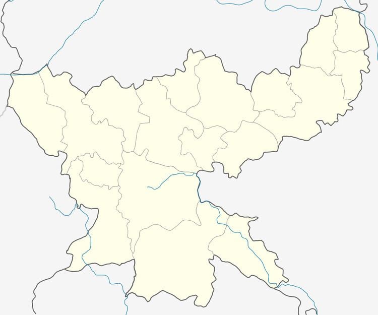 | ||
Daru is a community development block that forms an administrative division in the Hazaribagh Sadar subdivision of Hazaribagh district in the Indian state of Jharkhand.
Contents
Map of Daru, Jharkhand 825313
Geography
Daru is located at 24°00′41″N 85°32′52″E. It has an average elevation of 552 metres (1,811 ft).
Demographics
As per 2011 Census of India Daru CD Block had a total population of 52,305, all of which were rural. There were 27,022 males and 25,283 females. Scheduled Castes numbered 10,361 and Scheduled Tribes numbered 2038.
Literacy
As per 2011 census the total number of literates in Daru CD Block was 31,528 out of which 18,621 were males and 12,908 were females.
References
Daru (community development block) Wikipedia(Text) CC BY-SA