
Founded 1905 Area 13,175 km² Population 190,821 (2013) | Website co.hawaii.hi.us Unemployment rate 4.8% (Apr 2015) | |
 | ||
Time zone Hawaii-Aleutian: UTC-10 Destinations Hawaii, Kailua, Hilo Colleges and Universities University of Hawaii at Hilo, Hawaii Community College, Daniel K Inouye College o, Mauna Loa Helicopters, Institute for Clinical Acupunct Points of interest Hawaiian Islands, Hawaiʻi Volcanoes National, Kīlauea, Mauna Kea, Waipio Valley | ||
Hawaiʻi County is a county located in the U.S. state of Hawaii in the Hawaiian Islands. It is coterminous with the Island of Hawaiʻi, often called the "Big Island" to distinguish it from the state as a whole. As of the 2010 Census the population was 185,079. The county seat is Hilo. There are no incorporated cities in Hawaiʻi County (see Hawaii Counties). The Hilo Micropolitan Statistical Area includes all of Hawaiʻi County. Hawaiʻi County has a mayor-council form of government. Hawaii County is the largest county in the state, in terms of geography.
Contents
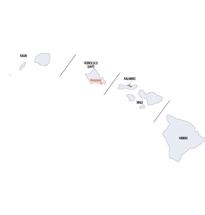
- Map of Hawaii County HI USA
- Geography
- Major Highways
- Adjacent counties
- Demographics
- County government
- State government
- Other communities
- National protected areas
- Top employers
- Sister cities
- References
Map of Hawaii County, HI, USA
The current Mayor of Hawaii County is Harry Kim, who took office in 2016. Legislative authority is vested in a nine-member Hawaii County Council.
Hawaii County is one of seven counties in the United States to share the same name as the state they are located in (the other six counties are Arkansas County, Idaho County, Iowa County, New York County, Oklahoma County, and Utah County).
Geography
Hawaiʻi County has a total area of 5,086.70 square miles (13,174.5 km2); 4,028.02 square miles (10,432.5 km2) is land and 1,058.69 square miles (2,742.0 km2) is water (mostly all off the ocean shoreline but counted in the total area by the U.S. Census Bureau). The county's land area comprises 62.7 percent of the state's land area. It is the highest percentage by any county in the United States. (Delaware's Sussex County comes in second at 48.0 percent, while Rhode Island's Providence County is third at 39.55 percent.)
Major Highways
Adjacent counties
Demographics
As of 2010, the island had a resident population of 185,079 There were 64,382 households residing in the county. The population density was 17.7/km² (45.9/mi²). There were 82,324 housing units at an average density of 8/km² (20/mi²). The racial makeup of the county was 34.5% White, 0.7% African American, 22.6% Asian, 12.4% Native Hawaiian or other Pacific Islander, and 29.2% from two or more races; 11.8% of the population were Hispanics or Latinos of any race.
County government
Executive authority is vested in the Mayor of Hawaii County who is elected for a four-year term. Since 2004, the election by the voters has been on a non-partisan basis. In 2016, Harry Kim was elected Mayor, succeeding Billy Kioni who had served a two-term limit. Legislative authority is vested in a nine-member County Council. Each member represents a geographical region of the island, which closely correlates to one of the nine tax map districts of Hawaiʻi County. Members of the County Council are elected on a non-partisan basis to two-year terms, with the latest election occurring in November 2010.
Administrative districts were originally based on the traditional land divisions called Moku of Ancient Hawaii. Some more heavily populated districts have since been split into North and South districts to make them more comparable on a population basis.
The number following each district is the Tax Map Key (TMK) number, used to locate state property information. They are assigned in a counter-clockwise order beginning on the eastern side of the island.
County council districts do not directly match the property tax districts because of the variation in the population density of voters in urban areas to rural areas; Hilo & Kailua (Kailua-Kona) towns are densely populated areas, while other districts such as Kaʻū, Puna, Hāmakua, and North & South Kohala are more sparsely populated.
Several government functions are administered at the county level that are at the state or municipal level in other states. For example, the county has its own office of liquor control.
State government
Hawaii Department of Public Safety previously operated the Kulani Correctional Facility in Hawaii County, on the Island of Hawaii. In 2009, the Hawaii Department of Public Safety announced that Kulani Correctional Facility would close.
Other communities
National protected areas
Top employers
According to the County's 2010 Comprehensive Annual Financial Report, the top employers in the county are:
Sister cities
Hawaii County has 10 sisters: