
Phone number 0279-22-2111 Population 78,178 (Feb 2016) | Region Kantō Area 240.4 km² Local time Saturday 8:37 PM | |
 | ||
Weather 6°C, Wind NW at 11 km/h, 95% Humidity Points of interest | ||
Shibukawa heso bellybutton festival shibukawa heso matsuri shibukawa gunma japan
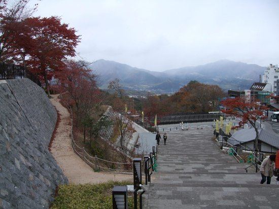
Shibukawa (渋川市, Shibukawa-shi) is a city located in the center of landlocked Gunma Prefecture in the northern Kantō region of Japan. As of February 2016, the city had an estimated population of 78,178 and a population density of 325 persons per km². Its total area was 240.27 square kilometres (92.77 sq mi). Shibukawa is the location of Ikaho Onsen, a popular hot spring resort.
Contents
- Shibukawa heso bellybutton festival shibukawa heso matsuri shibukawa gunma japan
- Map of Shibukawa Gunma Prefecture Japan
- Geography
- Surrounding municipalities
- History
- Economy
- Universities
- Railway
- Highway
- Local attractions
- Festivals
- Sister city relations
- Noted people from Shibukawa
- References
Map of Shibukawa, Gunma Prefecture, Japan
Geography
Shibukawa is located in the northern extremity of the Kantō plains of central Gunma Prefecture, encompassing the juncture of the Tone River and Agatsuma River. It is about 120 kilometres (75 miles) from Tokyo. Shibukawa is located at a central point (36°29′ N, 139°00′ E) of the Japanese archipelago and is thus known as the Bellybutton of Japan (日本のおへそ, nihon no oheso). To the west is Mount Haruna, and to the east is Mount Akagi. To the north are Mount Onoko and Mount Komochi. The Tone River flows from the north (between Mount Akagi and Mount Komochi) southward through the city, while the Agatsuma River flows from the west (between Mount Onoko and Mount Haruna), merging with the Tone River near the center of the city.
Shibukawa's highest altitude is 1,565 m (5,135 ft) above sea level; its lowest point is 2,701 m (8,862 ft) above sea level. The majority of the city lies between 200 to 800 metres (656 to 2,625 feet) above sea level
Farmland covers 49.88 km2 (19.26 sq mi) (20.8% of the city), housing covers 20.31 km2 (7.84 sq mi) (8.4%), and mountains and forests cover 77.39 km2 (29.88 sq mi) (32.2%). The remaining 92.84 km2 (35.85 sq mi) (38.6%) has other land uses.
Surrounding municipalities
History
During the Edo period, the area of present-day Shibukawa prospered from its location on the Mikuni Kaidō highway connecting Takasaki with Niigata. Post stations located within the borders of modern Shibukawa were: Shibukawa-shuku, Kanai-shuku, Kitamoku-shuku and Yokobori-shuku.
Modern Shibukawa town was created within Nishigunma District, Gunma Prefecture on April 1, 1889 with the creation of the municipalities system after the Meiji Restoration. In 1896, Nishiguma District and Kataoka District merged to form Gunma District, Gunma; however, the area containing Shibukawa was separated out in October 1949 into Kitagunma District. On April 1, 1954 - Shibukawa absorbed the villages of Furumaki, Kanashima and Toyoaki to become the city of Shibukawa. On February 20, 2006 - Shibukawa absorbed the town of Ikaho, the villages of Komochi and Onogami (all from Kitagunma District), and the villages of Akagi and Kitatachibana (both from Seta District).
Economy
Shibukawa is a regional commercial center and transportation hub. Seasonal tourism, particularly to its hot spring resorts and ski resorts plays a major role in the local economy. In terms of agriculture, the area is noted for its production of konjac.
Universities
Railway
Highway
Local attractions
Festivals
Shibukawa calls itself "The Bellybutton of Japan" (日本のおへそ) and hosts the Bellybutton Festival (へそ祭り) every year in late July. The festival is based on a traditional Japanese form of entertainment where revelers paint a face on their torsos and stomachs and pretend it is a head. A kimono is then wrapped around the waist and the person's real head is hidden by a large cloth hat. The belly button is traditionally painted into a mouth. These days, modern motifs and Japanese anime designs have crept into the festival, which city officials said is all about having fun.
Sister city relations
Shibukawa is twinned with: