
Country Italy | ||
 | ||
Elevation 4,810.45 m (15,782.3 ft) Countries France, Italy and Switzerland Borders on ListCottian AlpsDauphiné AlpsSavoy PrealpsBernese AlpsPennine AlpsPo plain Mountains | ||
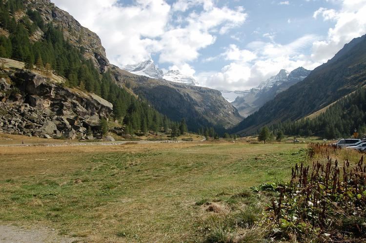
La tresenta 3609m western alps graian alps gran paradiso group
The Graian Alps (Italian: Alpi Graie [ˈalpi ˈɡraːje]; French: Alpes grées [alp ɡʁe]) are a mountain range in the western part of the Alps.
Contents
- La tresenta 3609m western alps graian alps gran paradiso group
- Map of Graian Alps 11010 Valsavarenche Aosta Valley Italy
- Alpi graie graian alps
- EtymologyEdit
- GeographyEdit
- PeaksEdit
- PassesEdit
- Nature conservationEdit
- MapsEdit
- References
Map of Graian Alps, 11010 Valsavarenche, Aosta Valley, Italy
Alpi graie graian alps
EtymologyEdit
The name Graie comes from the Graioceli Celtic tribe, which dwelled in the area surrounding the Mont Cenis pass and the Viù valley. Other sources claim that the name comes from the Celtic "Graig" meaning rock/stone, literally the Rocky Mountains
GeographyEdit
The Graian Alps are located in France (Rhône-Alpes), Italy (Piedmont and the Aosta Valley), and Switzerland (western Valais).
The French side of the Graian Alps is drained by the river Isère (Tarentaise valley) and its tributary Arc (Maurienne valley), and by the Arve. The Italian side is drained by the rivers Dora Baltea, Orco and Stura di Lanzo, tributaries of the Po.
The Graian Alps can also be divided into the following four groups:
PeaksEdit
The main peaks of the Graian Alps are:
PassesEdit
The main passes of the Graian Alps are shown in the table below. The group in which the pass is located is indicated with "MB" for Mont Blanc group, "C" for Central group, "E" for Eastern group, and "W" for Western group.
Nature conservationEdit
The western group contains the Vanoise National Park, established in 1972 and covering 1250 km²; the eastern group contains the Gran Paradiso National Park, the oldest Italian national park. Also on the Italian side is located the Parco Regionale del Monte Avic, a nature park of 5,747 ha established by Regione Valle d'Aosta.