
Length 168 km | Source elevation 1,400 m Mouth Po | |
 | ||
Main source Entrèves near Courmayeur1,400 m (4,600 ft) Basin size 3,890.52 km (1,502 sq mi) Discharge Average rate:(mouth) 96.0 m/s (3,390 cu ft/s) | ||
Dora baltea inferno canyon
Dora Baltea ([ˈdɔːra ˈbaltea]) or Doire Baltée ([dwaʁ balte]) (Latin: Duria maior or Duria Bautica; Arpitan: Djouire (Valdôtain); Piedmontese: Deura Bàotia), is a river in northern Italy. It is a left-hand tributary of the Po River and is about 170 kilometres (110 mi) long.
Contents
- Dora baltea inferno canyon
- Map of Fiume Dora Baltea Italy
- Pesca spinning alla trota nella dora baltea
- GeographyEdit
- Water usesEdit
- References
Map of Fiume Dora Baltea, Italy
Pesca spinning alla trota nella dora baltea
GeographyEdit
It originates by Mont Blanc as the confluence of the Dora di Ferret, fed by the Pré de Bar Glacier in Val Ferret, and the Dora di Veny, fed by the Miage Glacier in Val Veny.
As it crosses the Aosta Valley, the Dora Baltea flows through the city of Aosta (where the Buthier runs into it) and near all the main cities of the lower Aosta Valley: Châtillon, Saint-Vincent, Verrès and Pont-Saint-Martin. After it enters Piedmont, it passes through the city of Ivrea and a good part of Canavese, gets from its right hand the waters of the Chiusella and reaches the Po at Crescentino, a little downstream from Chivasso.
Water usesEdit
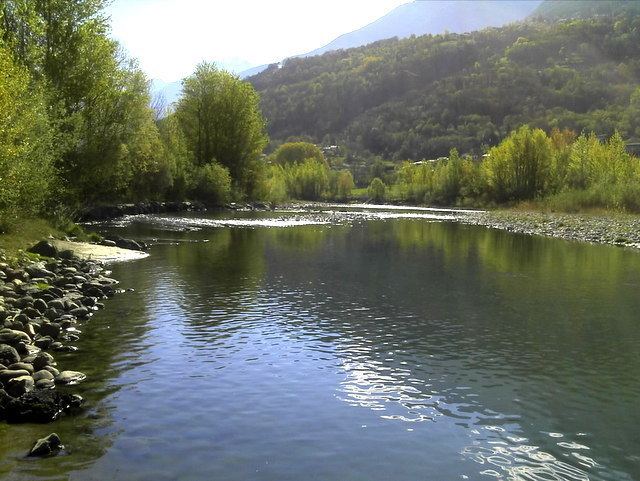
It is a popular place for whitewater rafting and kayaking. Early in the summer, in May and June, the rivers are usually high with snow melt from the mountains. During July, August and September the water levels are usually lower and the temperature warmer.