
Length 3,550 km | ||
 | ||
The Daqing–Guangzhou Expressway (simplified Chinese: 大庆-广州高速公路; traditional Chinese: 大慶-廣州高速公路), commonly referred to as the Daguang Expressway (simplified Chinese: 大广高速公路; traditional Chinese: 大廣高速公路) is an expressway that connects the cities of Daqing, Heilongjiang, and Guangzhou, Guangdong. When fully complete, it will be 3,550 km (2,210 mi) in length.
Contents
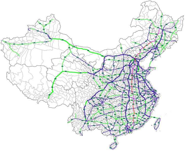
Map of G45, China
Route
Once complete the Daqing–Guangzhou Expressway will run from Daqing, Heilongjiang to Guangzhou, Guangdong. It passes through the following major cities;
History
The first section of the expressway opened in the north of Beijing in 2002. Northeast of Beijing the 210 kilometre section to Chengde was known as the Jingcheng expressway(Chinese: 京承高速公路; pinyin: Jīngchéng Gāosù Gōnglù) and south, the section to Kaifeng was known as the Jingkai Expressway (京开高速公路, Hanyu Pinyin: Jīngkāi Gāosù Gōnglù). Expressway naming was standardised across China in 2009 and the entire length from Daqing to Guangzhou became the G45 expressway.
Detailed Route
The following is a list of towns, cities and major interchanges along the expressway as of 2012.