
County Bates GNIS feature ID 0766293 Area 92.05 km² Population 304 (2000) | Time zone CST (UTC-6) Elevation 260 m Local time Thursday 1:44 AM | |
 | ||
ZIP codes 64720, 64722, 64723, 64730 Weather 8°C, Wind SW at 13 km/h, 54% Humidity | ||
Elkhart Township is one of twenty-four townships in Bates County, Missouri, USA. As of the 2000 census, its population was 304.
Contents
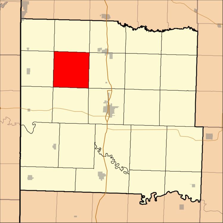
- Map of Elkhart Township MO USA
- History
- Geography
- Adjacent townships
- Cemeteries
- School districts
- Political districts
- References
Map of Elkhart Township, MO, USA
History
Elkhart Township was established in the 1860s. The name is a transfer from Elkhart, Indiana.
Geography
According to the United States Census Bureau, Elkhart Township covers an area of 35.54 square miles (92.05 square kilometers); of this, 35.45 square miles (91.83 square kilometers, 99.76 percent) is land and 0.09 square miles (0.22 square kilometers, 0.24 percent) is water.
Adjacent townships
Cemeteries
The township contains these two cemeteries: Howell and Scott.
School districts
Political districts
References
Elkhart Township, Bates County, Missouri Wikipedia(Text) CC BY-SA