
County Bates GNIS feature ID 0766312 Area 85.46 km² Local time Friday 9:32 PM | Time zone CST (UTC-6) Elevation 260 m Zip code 64723 Population 573 (2000) | |
 | ||
Weather 9°C, Wind NE at 11 km/h, 78% Humidity | ||
West Point Township is one of twenty-four townships in Bates County, Missouri, USA. As of the 2000 census, its population was 573.
Contents
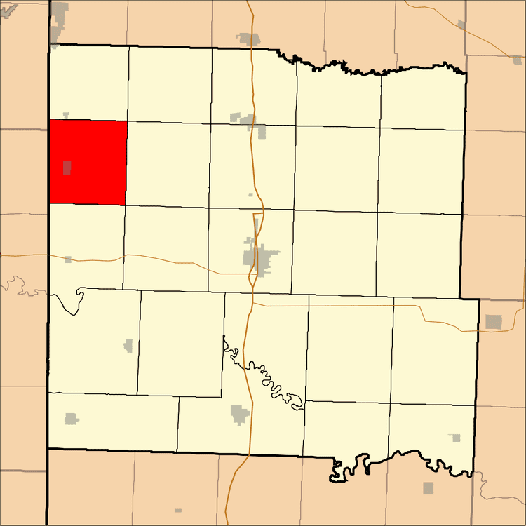
- Map of West Point Township MO 64723 USA
- Geography
- Cities towns villages
- Adjacent townships
- Cemeteries
- Landmarks
- School districts
- Political districts
- References
Map of West Point Township, MO 64723, USA
West Point Township took its name from the community of West Point, which is now considered a ghost town.
Geography
According to the United States Census Bureau, West Point Township covers an area of 33 square miles (85.46 square kilometers); of this, 32.88 square miles (85.15 square kilometers, 99.64 percent) is land and 0.12 square miles (0.31 square kilometers, 0.36 percent) is water.
Cities, towns, villages
Adjacent townships
Cemeteries
The township contains these three cemeteries: Forbes, Walley and West Point.
Landmarks
School districts
Political districts
References
West Point Township, Bates County, Missouri Wikipedia(Text) CC BY-SA