
County Bates ZIP codes 64723, 64742 Elevation 272 m Local time Friday 4:09 PM | Time zone CST (UTC-6) GNIS feature ID 0766311 Area 78.32 km² Population 582 (2000) | |
 | ||
Weather 10°C, Wind N at 13 km/h, 78% Humidity | ||
West Boone Township is one of twenty-four townships in Bates County, Missouri, USA. As of the 2000 census, its population was 582.
Contents
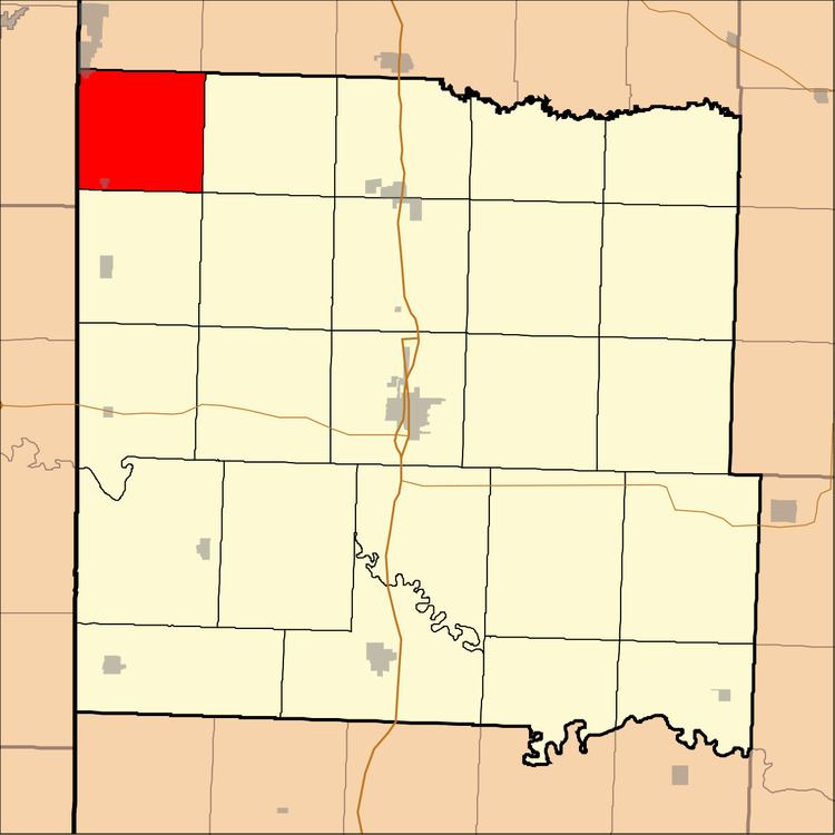
- Map of West Boone Township MO USA
- Geography
- Cities towns villages
- Unincorporated towns
- Adjacent townships
- Cemeteries
- Airports and landing strips
- School districts
- Political districts
- References
Map of West Boone Township, MO, USA
West Boone Township derives its name from the pioneer Daniel Boone.
Geography
According to the United States Census Bureau, West Boone Township covers an area of 30.24 square miles (78.33 square kilometers); of this, 30.06 square miles (77.86 square kilometers, 99.4 percent) is land and 0.18 square miles (0.47 square kilometers, 0.6 percent) is water.
Cities, towns, villages
Unincorporated towns
(This list is based on USGS data and may include former settlements.)
Adjacent townships
Cemeteries
The township contains Edgewood Cemetery.
Airports and landing strips
School districts
Political districts
References
West Boone Township, Bates County, Missouri Wikipedia(Text) CC BY-SA